What is Madden Julien Oscillation? Here's why it's important when forecasting the tropics


Remember a few weeks ago when the tropics were quiet in the Atlantic, yet we had three to four tropical systems in the Pacific, and now that trend has seemingly flipped? There's a reason for that. It's called the Madden Julien Oscillation.
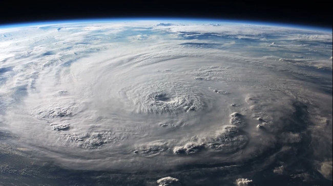
The Madden Julien Oscillation, commonly referred to as the MJO, is a wave pattern that expands across the entire globe and slowly moves from west to east. As it does, it can influence local weather patterns, especially in the tropics, through areas of rising or sinking motion.
Prior to a week ago, there was an area of sinking motion over the Atlantic associated with the MJO from late July to mid-August. And the lack of tropical activity was evident as there were zero named storms in the Atlantic during that time.
SEE MORE: Tropical Depression 9 forms in the Gulf, expected to become "Harold" before Texas landfall
But over in the Pacific, there was an area of rising motion during the same timeframe. And the activity during that time reflected it with hurricanes Dora, Fernanda, and Hilary and tropical storms Eugene and Greg all forming over those three weeks.
As of Aug. 21, that area of rising motion has traversed across Central America and made it to the Atlantic. The current increase in tropical activity shows just that!
Just within the past four days, three named systems have formed, with another potential tropical storm in the gulf. These waves associated with the MJO typically stay over a given region for about two to four weeks. The phase that just reached the Atlantic a few days ago could stay overhead through Labor Day. And with that, we'll probably continue to see active tropics across the Atlantic and potentially the Gulf too.
SEE MORE: Rising sea levels contributing to more intense hurricanes, study shows
Though keep in mind the MJO is a wave pattern that is constantly moving across the globe, so this wave will, too, move east. After which, we could welcome another "sinking" wave after Labor Day. As described above, those aren't as favorable for tropical development, and long-range computer models show that too.
So based on that, the tropics could potentially quiet down again into mid or late September. Or at least, not be under as favorable of conditions for normal development.
RELATED: Eye on the Gulf: Hunting Hurricanes