How 'climate warming' played role in intensification of Hurricane Ida

GALVESTON, Texas (KTRK) -- As we keep an eye on what could be developing in the Gulf of Mexico, two scientists weigh in on what was learned from Hurricane Ida and how climate change is playing a role in active hurricane seasons.
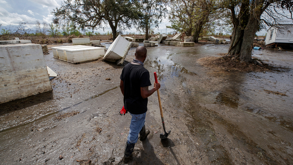
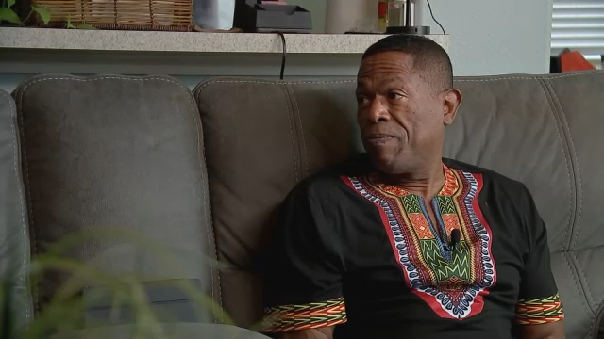
Dr. Hal Needham, a climate data and natural hazards scientist with Flood Information Systems in Galveston, responded to Louisiana as Hurricane Ida was making landfall last month.
"It showed us a lot of different things, one of which being a lot of people in New Orleans and southeast Louisiana really did not have time to evacuate," Needham said. "New Orleans needs about 96 hours to establish counter flow. That's when all the interstate lanes goes inland. They did not have that much time so they did not do an official evacuation. Even the emergency messaging boards in town in New Orleans, the day before landfall, said nothing about this hurricane. They just felt like they didn't have enough time to evacuate."
READ ALSO: FEMA calls Ida 'one of the most catastrophic hurricanes' to ever make landfall in the US
Needham said the lessoned learned is that there may not always be 96 hours, or even 72 hours, to evacuate in storms such as Ida that underwent rapid intensification, which can be a symptom of climate warming.
"Really, we need to be talking about these things and having a discussion," Needham said. "How do we quickly evacuate the coast if an explosive storm like Ida does not give us enough time to get everyone out of harm's way?"
Eva Regnier, the professor of operations and logistics management at the Naval Postgraduate School, agrees.
Regnier said due to global warming, storms like this could happen more often and with "very little warning."
"With climate change, and particularly global warming, it's warming up the oceans," Regnier said. "It's warming up the atmosphere. That means the atmosphere takes or holds more water. It means the storms have more energy, and that energy is going to come out somehow and that water is going to come out somehow. So we aren't necessarily looking at more frequent hurricanes, and we're not necessarily looking at any more difficulty in forecasting, so that's the good news."
Needham said this means areas in our region that did not flood before in a previous storm may see flooding.
"Hurricanes throw three hazards at us: wind, heavy rain and salt water storm surge, and every hurricane is different," Needham said. "Stay tuned to your credible sources like ABC13, the work we're doing with flood information systems and the National Weather Service. We will give you great guidance, because every storm is different and you want to be on top of the latest information."
Needham said to find more stories and information about extreme weather and disaster science, visit GeoTrek.
For updates on this report, follow ABC13 reporter Roxie Bustamante on Facebook, Twitter and Instagram.


