Experts weigh in on 2023 hurricane season in southeast Texas

HOUSTON, Texas (KTRK) -- As this year's hurricane season comes to a close, ABC13 Meteorologist Elyse Smith spoke to a local expert about the significance of this season even though southeast Texas was once again spared from a storm.
Nov. 30 is the last day of hurricane season, which begins on June 1.
The 2023 Atlantic Hurricane Season will be known as an above-average and active year with a total of 20 named storms (as of Nov. 27). An average season has 14 named storms. As for hurricanes, there were seven, with three major hurricanes. Those numbers specifically for hurricanes are near normal, though for an average season. One factor that made a big difference in the total number of named storms was the record warm water temperatures seen across the Atlantic this summer.
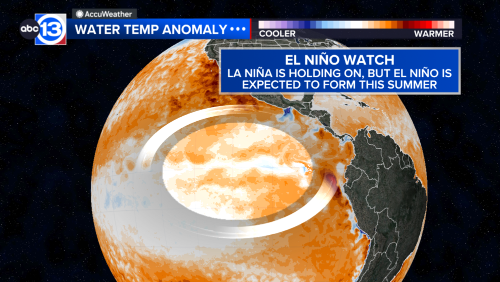
It also shouldn't go unnoticed that this was an El Niño summer, the first in three years since the summer of 2019. Typically, that would mean a near-normal or even below-normal season for tropical activity due to unfavorable conditions for storms to develop. Specifically, wind shear from the jet steam. While that remained true over the Gulf of Mexico to an extent, there was a stretch from mid-August to September with several named storms in the Atlantic Ocean all at once. That's more of a characteristic of an El Niño season, too, though the number of storms was surely influenced by the very warm waters in the Atlantic.
Another factor that has become a reoccurring staple and threat each hurricane season is a process known as "rapid intensification," where a tropical storm strengthens by at least 30 knots (35 mph) in a 24-hour period. Recent examples of that were hurricanes Idalia in 2023, Laura in 2020, and, most notably for Houstonians, Harvey in 2017.
But it's Hurricane Otis from this year, an Eastern Pacific storm that stands out as one of the most extreme cases of rapid intensification. The storm intensified by 100 mph in less than a day, quickly becoming a Category 5 hurricane in the blink of an eye. Soon after, Otis made landfall near Acapulco and caused catastrophic damage.
Bill Read is a former director of the National Hurricane Center who now lives in southeast Texas. He recalls that storm, Otis, as the biggest lesson learned from this hurricane season.
"From my perspective, the utter failure of all our science to predict the rapid intensification of Otis when it approached Acapulco," Read said. "I think maybe we were getting a little bit used to the fact that we were actually catching some of the rapid intensification of other storms, like Idalia this year. But this is a reminder that there's still a lot of work to be done."
And even though Otis wasn't an Atlantic storm, Read can draw parallels to a similar scenario with Hurricane Alicia in 1983.
For the first time in two years, the state of Texas had a landfilling storm. Tropical Storm Harold made landfall on Padre Island on Aug. 22 after quickly organizing and intensifying from a tropical depression a day prior. While this system technically didn't reach the defined category of "rapid intensification," the speed at which the storm went from a depression to a tropical storm is noteworthy.
For more on this story, follow Elyse Smith on Facebook, Twitter and Instagram.


