ABC13 Weather Watch: Wednesday's heavy rain could lead to street flooding


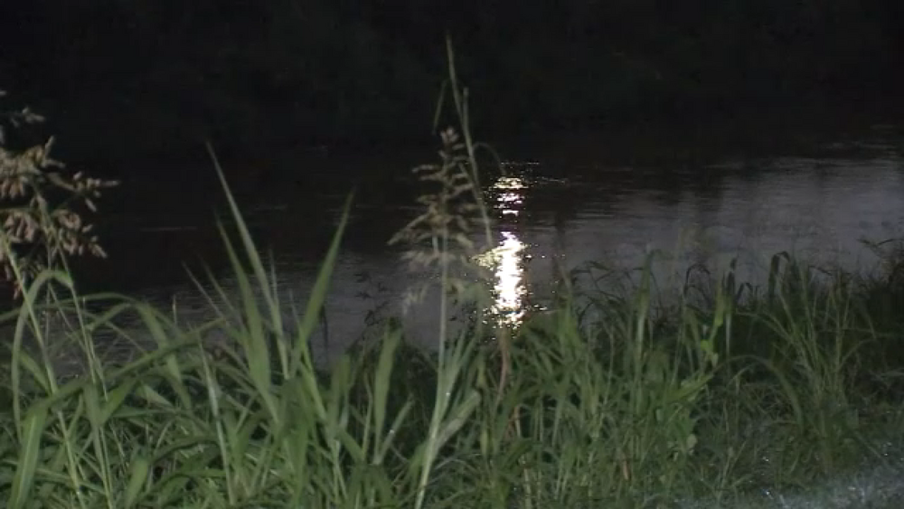
HOUSTON, Texas (KTRK) -- Another round of showers and storms will roll through Southeast Texas Wednesday beginning in the morning and lasting through the early afternoon. While no flash flooding is expected this time, the ABC13 Weather Watch is for minor ponding on roads and street flooding could be a concern.
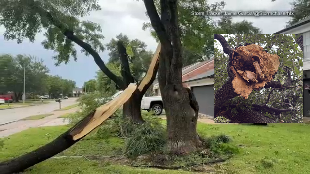
Moisture will increase from the west which will allow for showers and storms to form Wednesday morning and continue off and on through the early afternoon. While these storms don't look to be as widespread as Tuesday, some could produce locally heavy rainfall that could lead to minor ponding on roads and some street flooding too. There is a higher risk for some areal and river flooding farther south across portions of Jackson, Wharton, Matagorda and Calhoun counties. The rest of Wednesday will once again be cloudy and cool for Houston's summertime standards with temperatures hovering in the upper 70s or low 80s.

When does this stormy pattern come to an end?
By Thursday the tropical air will be gone and the rain chance will drop to 40%. Most of the showers will pop up in the afternoon heat and dissipate with the setting of the sun. Rain chances will continue to drop by the weekend, allowing high temperatures to soar into the mid 90s.
What does the weekend look like?
As of now, much drier! Looks like this stormy pattern will clear just in time for the weekend. This also means temperatures are going to warm up too. Expect more sunshine each day this weekend with highs back into the low-mid 90s.
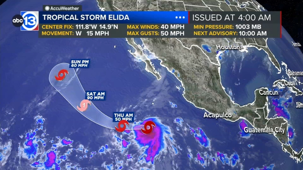
What are you tracking in the tropics?
For now it's all about the Saharan dust tracking through the main development region of the Atlantic basin. There is also a new area to watch near Florida that has a low chance for development over the next 7 days. Meanwhile, Tropical Storm Elida has formed in the Pacific. Visit our Tropical Update page for a more in-depth tropical weather discussion and forecast.
13 ALERT RADAR MAPS:
Southeast Texas
Houston
Harris County
Galveston County
Montgomery/Walker/San Jacinto/Polk/Grimes Counties
Fort Bend/Wharton/Colorado Counties
Brazoria/Matagorda Counties
Have weather tips, videos, and photos?
Send it to ABC13 using the form below. If you have a video or photo to send, terms of use apply. If you don't, just hit 'skip upload' and send the details.