Author of Category 6 hurricane paper highlights how climate change will impact future storms


HOUSTON, Texas (KTRK) -- A recent paper published in the Proceedings of the National Academy of Sciences of the United States has been in the headlines since it was released earlier this month. Now known as the infamous Category 6 hurricane paper, it gained widespread attention and sparked conversations on the future of storms.
On Monday, ABC13 Meteorologist Elyse Smith had the opportunity to speak to one of the paper's co-authors, who was interested in clarifying the main point of the study.
"Our motivation was simply to raise awareness that climate change is making the strongest storms stronger and increasing the risk of major hurricanes throughout the world, including the Gulf of Mexico and the Caribbean," Michael Wehner, senior scientist at the Lawrence Berkley National Laboratory, said. "We are not advocating to put a Category 6 in the official National Hurricane Center warning categories."
The Saffir-Simpson Scale is a wind-based damage assessment scale and how we rate tropical systems and hurricanes. Before 2010, the Saffir-Simpson Scale also included storm surge and central pressure as part of its rating system. The change to make the scale wind only was made to help reduce public confusion and provide a more "scientifically defensible scale," per the National Hurricane Center.
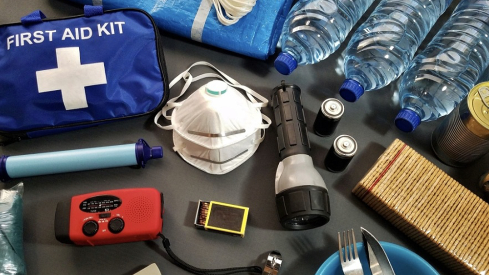
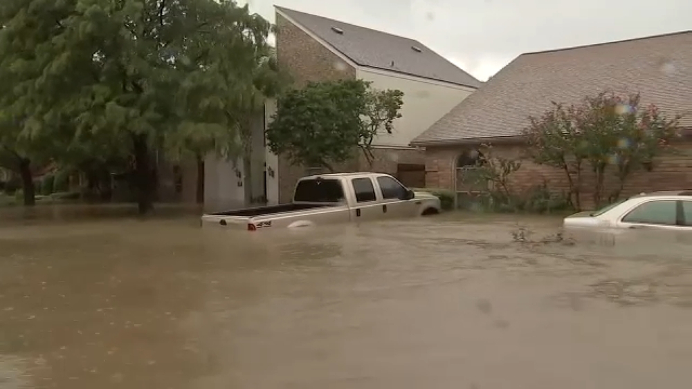
However, the "media frenzy," as Wehner put it, around his paper opened the door for further conversations about how to rate the intensity of hurricanes beyond wind speed. For those of us in southeast Texas, we know that a tropical storm or hurricane is so much more than just wind alone. The storm surge and flooding from heavy rainfall, plus the potential for landfilling tornadoes, can be just as dangerous or even deadly as storm-force winds. The root of this study in question focuses on how climate change could lead to more powerful hurricanes in the future.
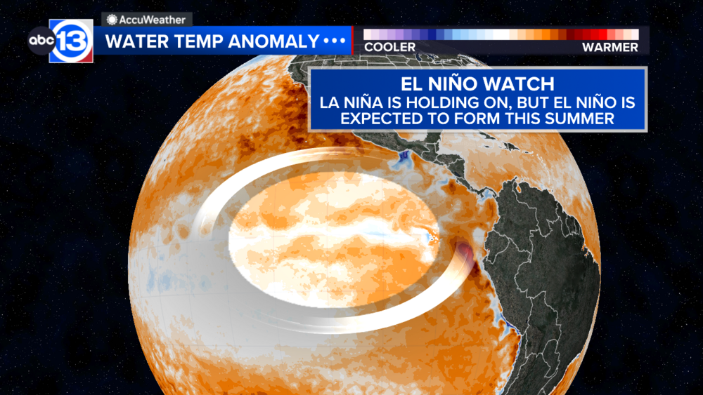
One example of how climate change has impacted the Atlantic Hurricane Season is through the well above-normal sea surface temperatures observed from season to season. Warm ocean temperatures are fuel for hurricanes and have previously been linked to aiding in the rapid intensification process. A tropical system undergoes rapid intensification when it strengthens by at least 30 knots (35 mph) in 24 hours. Recent examples of that were hurricanes Idalia (2023), Laura (2020), and, most notably for Houstonians, Harvey (2017).
All in all, don't expect to see a Category 6 hurricane any time soon. Instead, scientists and researchers are concerned about is how the impact of these storms, collectively from wind to storm surge to floods, will leave an impact much worse than previously seen.
For more on this story, follow Elyse Smith on Facebook, Twitter and Instagram.