Tropical moisture returns to Houston Friday, rain chances climb through the weekend


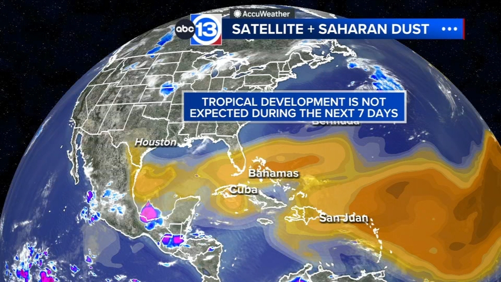
HOUSTON, Texas (KTRK) -- It's out with the Saharan dust and in with the tropical moisture. That tropical air starts blowing in first thing Friday and continues to increase through the weekend. Even higher rain chances are coming on Monday and Tuesday as a summer storm front blows in from the north.
Unlike most days this week, the rain on Friday could start in our coastal counties before the sun even comes up. Those showers should blossom into thunderstorms closer to Houston around the noon hour, capping our high temperatures in the low-to-mid 90s. We'll spend most of the afternoon rain-cooled in the 80s with scattered showers and thunderstorms continuing. By the evening, rain chances will drop below 20%, and then we'll reload and do it all over again on Saturday.
What are we expecting for weekend rain chances?
That surge of tropical moisture will continue to boost rain chances both Saturday and Sunday. Scattered thunderstorms are possible both days, especially in the late morning to early afternoon. Saturday's rain chance is 40% and Sunday's rain chance is 60%. The weekend also kicks off a stormy stretch with more rounds of showers and storms expected Monday and Tuesday. That's when a summer storm front will push in from the north and interact with the tropical air.
Is any severe weather expected?
Not at this time, but there could be some street flooding issues early next week with the higher rain chances Sunday through Tuesday.
What are you tracking in the tropics?
For now it's all about the Saharan dust tracking through the main development region of the Atlantic basin. Visit our Tropical Update page for a more in-depth tropical weather discussion and forecast.
13 ALERT RADAR MAPS:
Southeast Texas
Houston
Harris County
Galveston County
Montgomery/Walker/San Jacinto/Polk/Grimes Counties
Fort Bend/Wharton/Colorado Counties
Brazoria/Matagorda Counties
Have weather tips, videos, and photos?
Send it to ABC13 using the form below. If you have a video or photo to send, terms of use apply. If you don't, just hit 'skip upload' and send the details.