NOAA weighs in on how La Niña will impact the upcoming winter

HOUSTON, Texas (KTRK) -- Winter is coming, and it will feature a rare "triple dip" La Niña. That means that for the third winter in a row, La Niña conditions will be observed in the Pacific Ocean.
This large patch of cooler-than-normal water resides along the equator, near South America, and like its El Niño counterpart, it shifts the global jet stream.
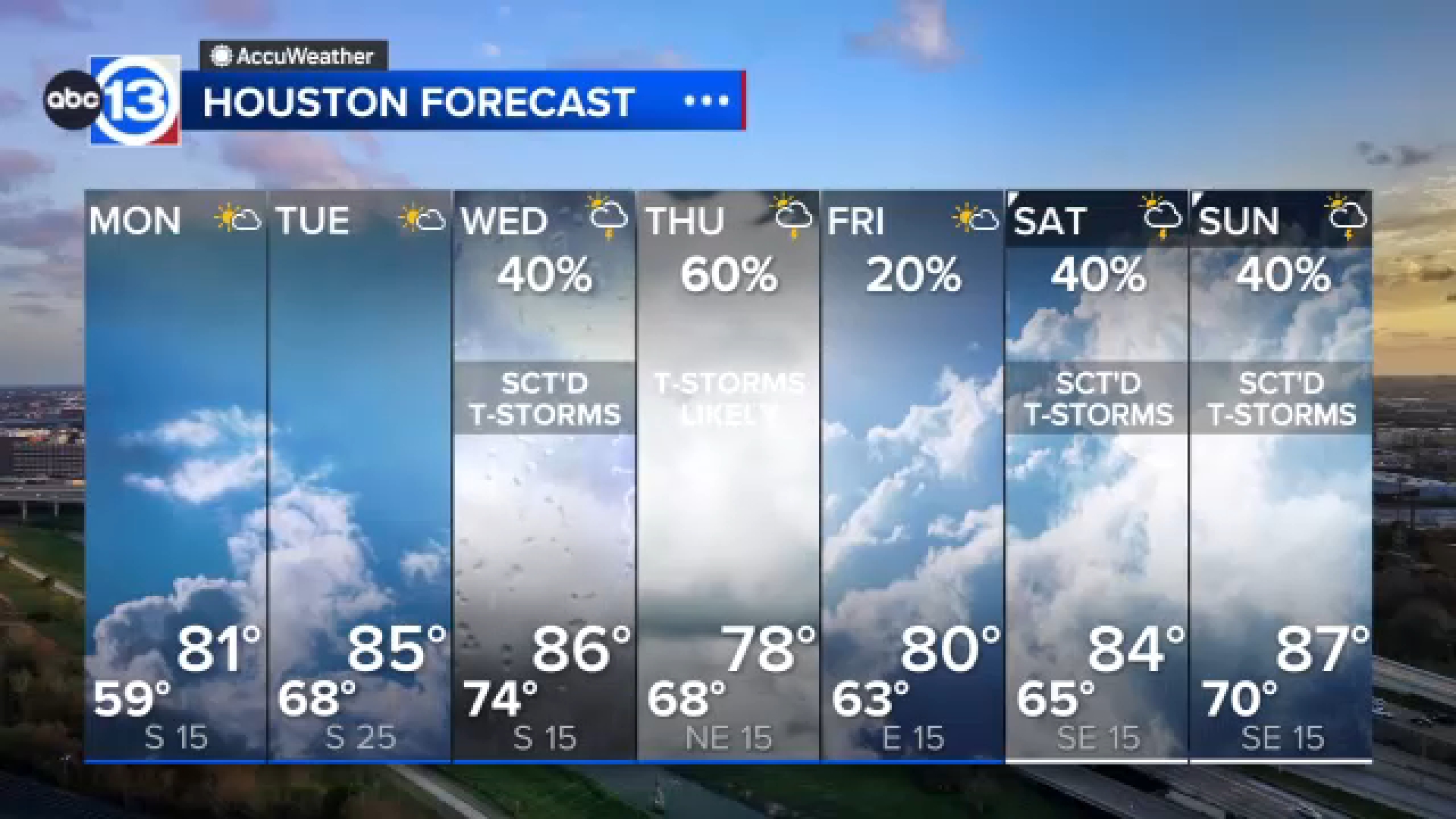
A typical La Niña winter brings warmer and drier than normal conditions to Houston during the winter months, as it shifts the jet stream farther north across America. Keep in mind, we are talking about the average temperature and rainfall across three months.
There will still be cold fronts and freezes, and there will still be showers and thunderstorms. But when you have averaged it all up over those roughly 90 days of winter, it will likely be warmer and drier than normal.
This means it is more likely that the drought will persist and even worsen in Texas. Wintry precipitation is less likely in a La Niña winter when compared to an El Niño winter.
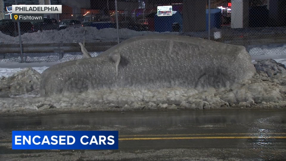
There have been notable exceptions to what is typically expected during a La Niña winter, including the severe winter storm of February 2021.
For weather updates, follow Travis Herzog on Facebook, Twitter and Instagram.


