ABC13 Weather Watch for Monday & Tuesday with risk of street flooding from heavy t-storms


HOUSTON, Texas (KTRK) -- With this active, stormy pattern lingering across the Gulf Coast, ABC13 Weather Watches are out for Monday and Tuesday with an increasing risk for street flooding from heavy downpours.
Rounds of summertime showers and storms this will continue to push through the Houston area through the afternoon, bringing brief heavy rainfall, thunder and lightning. At the same time, a line of stronger, slow-moving storms will develop north of Southeast Texas Monday afternoon along a stationary front. Those storms will track from north to south towards the Houston area early Monday evening and could bring another wave of heavy downpours plus strong winds and small hail. Be mindful of the potential for street flooding during your afternoon and evening commute as well as heavy downpours that could reduce visibility and slow you down. Temperature wise, many locations will remain in the 80s Monday with the cloudy sky and rounds of showers.
Later Monday evening we expect showers and storms that formed during the day to weaken overnight. But the remnants form these storms will stay overhead, allowing for showers and storms to quickly form Tuesday morning as the sun comes up. Widespread showers and storms are then expected Tuesday morning and will continue through lunchtime Tuesday.
What should we know about Monday and Tuesday's ABC13 Weather Watch?
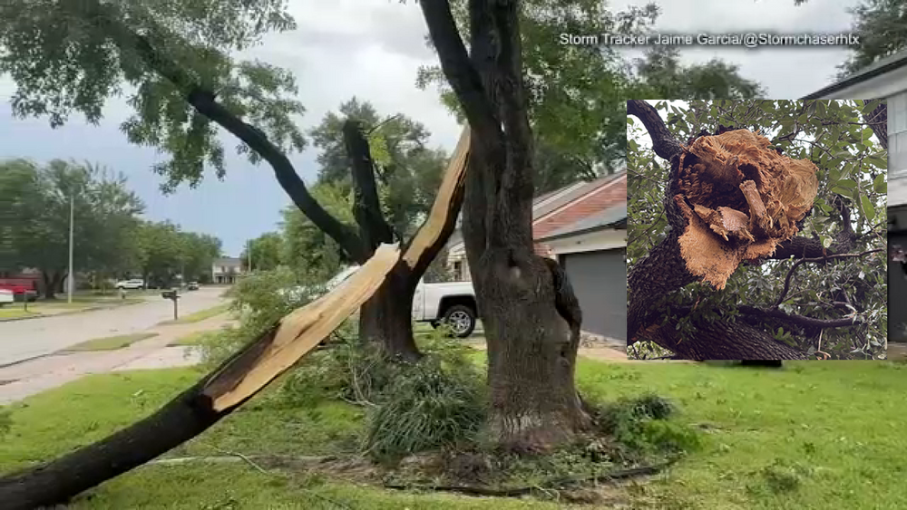
With a summer front stalling out nearby, it will focus storms over Southeast Texas and slow down their motion, increasing the risk of street flooding. Rounds of rain are expected to push through the region throughout the day, potentially impact both the morning and evening commutes at times, so best to stay weather aware. A quick 1-3 inches of rain could quickly flood streets especially after much of Southeast Texas already picked up heavy downpours over the weekend. On average most of Southeast Texas could pick up around 2 to 5 inches of rain in total between the two days. Some areas could see more. Besides the flood risk, a few thunderstorms could potentially produce wind gusts upwards of 50 to 60 mph at times that could lead to minor tree damage.
When does this stormy pattern come to an end?
By Wednesday the tropical air is gone, and the rain chance will drop to 40%. Most of the showers will pop up in the afternoon heat and dissipate with the setting of the sun. Rain chances will continue to drop for the rest of the week, allowing high temperatures to soar into the upper 90s.
What are you tracking in the tropics?
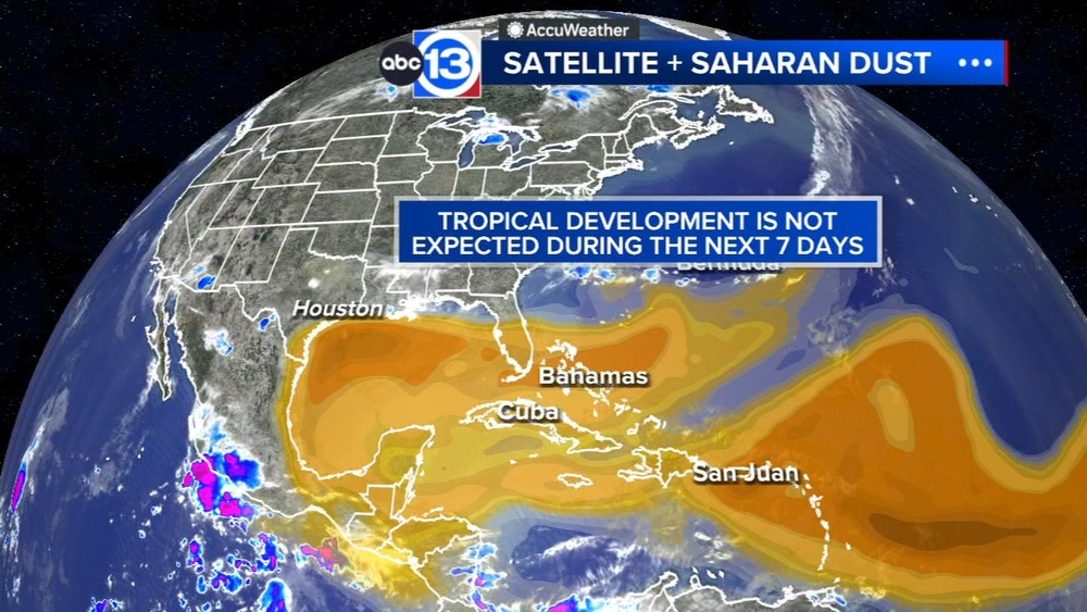
For now it's all about the Saharan dust tracking through the main development region of the Atlantic basin. Meanwhile there are several waves to monitor in the Pacific. Visit our Tropical Update page for a more in-depth tropical weather discussion and forecast.
13 ALERT RADAR MAPS:
Southeast Texas
Houston
Harris County
Galveston County
Montgomery/Walker/San Jacinto/Polk/Grimes Counties
Fort Bend/Wharton/Colorado Counties
Brazoria/Matagorda Counties
Have weather tips, videos, and photos?
Send it to ABC13 using the form below. If you have a video or photo to send, terms of use apply. If you don't, just hit 'skip upload' and send the details.