ABC13 Weather Watch for Monday & Tuesday with risk of street flooding from heavy t-storms


HOUSTON, Texas (KTRK) -- The stormy weekend was just the beginning! ABC13 Weather Watches are out for Monday and Tuesday with an increasing risk for street flooding from heavy downpours.
Scattered storms will continue through sunset Sunday and couple produce heavy rainfall, thunder, lightning and gusty winds. The overnight hours will be on the drier side with temperatures falling into the mid-upper 70s by Monday morning.
What should we know about Monday and Tuesday's ABC13 Weather Watch?
With a summer front stalling out nearby, it will focus storms over Southeast Texas and slow down their motion, increasing the risk of street flooding. Rain is possible in the morning, afternoon, evening, and overnight, so stay weather aware. A quick 1-3" of rain could quickly flood streets especially after much of Southeast Texas already picked up heavy downpours over the weekend.
Is any severe weather expected?
Not at this time, but there could be some street flooding issues early next week with the higher rain chances Sunday through Tuesday.
When does this stormy pattern come to an end?
By Wednesday the tropical air is gone, and the rain chance will drop to 40%. Most of the showers will pop up in the afternoon heat and dissipate with the setting of the sun. Rain chances will continue to drop for the rest of the week, allowing high temperatures to soar into the upper 90s.
What are you tracking in the tropics?
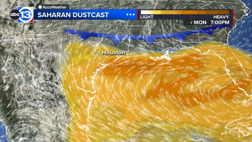
For now it's all about the Saharan dust tracking through the main development region of the Atlantic basin. Meanwhile there are several waves to monitor in the Pacific. Visit our Tropical Update page for a more in-depth tropical weather discussion and forecast.
13 ALERT RADAR MAPS:
Southeast Texas
Houston
Harris County
Galveston County
Montgomery/Walker/San Jacinto/Polk/Grimes Counties
Fort Bend/Wharton/Colorado Counties
Brazoria/Matagorda Counties
Have weather tips, videos, and photos?
Send it to ABC13 using the form below. If you have a video or photo to send, terms of use apply. If you don't, just hit 'skip upload' and send the details.