

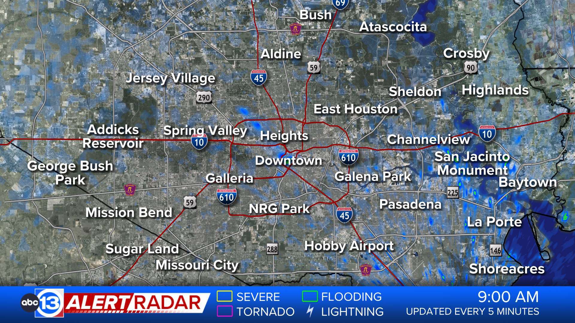
ABC13 Houston Weather Radar

- Tropical Storm Warning
* LOCATIONS AFFECTED - Anahuac - Beach City - Mont Belview * WIND - LATEST LOCAL FORECAST: Tropical storm force gusts. - Peak Wind Forecast: 20-30 mph with gusts to 40 mph - Higher winds likely if system deviates a little west of the expected track. - THREAT TO LIFE AND PROPERTY THAT INCLUDES TYPICAL FORECAST UNCERTAINTY IN TRACK, SIZE AND INTENSITY: - The wind threat has remained nearly steady from the previous assessment. - PLAN: Plan for hazardous wind of equivalent tropical storm force. - PREPARE: Efforts to protect property should now be underway. Prepare for limited wind damage. - ACT: Act now to complete preparations before the wind becomes hazardous. - POTENTIAL IMPACTS: Limited but track dependent - Potential for some tree damage, especially if the center deviates west of the track. - Scattered power and communications outages are possible. - Wind impacts higher if center deviates west of the track. * STORM SURGE - No storm surge inundation forecast * FLOODING RAIN - LATEST LOCAL FORECAST: Flood Watch is in effect - Peak Rainfall Amounts: Additional 3-6 inches, with locally higher amounts - THREAT TO LIFE AND PROPERTY THAT INCLUDES TYPICAL FORECAST UNCERTAINTY IN TRACK, SIZE AND INTENSITY: Potential for moderate flooding rain - The flooding rain threat has remained nearly steady from the previous assessment. - PLAN: Emergency plans should include the potential for moderate flooding from heavy rain. Evacuations and rescues are possible. - PREPARE: Consider protective actions if you are in an area vulnerable to flooding. - ACT: Heed any flood watches and warnings. Failure to take action may result in serious injury or loss of life. * TORNADO - LATEST LOCAL FORECAST: - Situation is unfavorable for tornadoes * FOR MORE INFORMATION: - Hurricane Preparedness: Federal Emergency Management Agency - http://ready.gov/hurricanes - Local weather conditions and forecasts: NWS Houston/Galveston, TX - http://www.weather.gov/hgx/More
- Tropical Storm Warning
* LOCATIONS AFFECTED - Bolivar - Crystal Beach - High Island * WIND - LATEST LOCAL FORECAST: Potential tropical storm force gusts. - Peak Wind Forecast: Generally 20-30 MPH, but gusting over 45 MPH within heavy rainbands. Higher winds likely if center deviates west of the track. - THREAT TO LIFE AND PROPERTY THAT INCLUDES TYPICAL FORECAST UNCERTAINTY IN TRACK, SIZE AND INTENSITY: - The wind threat has remained nearly steady from the previous assessment. - PLAN: Plan for hazardous wind of equivalent tropical storm force. - PREPARE: Efforts to protect property should now be underway. Prepare for limited wind damage. - ACT: Act now to complete preparations before the wind becomes hazardous. - POTENTIAL IMPACTS: Limited but track dependent - Potential for some tree damage, especially if the center deviates west of the track. - Scattered power and communications outages are possible. - Wind impacts higher if center deviates west of the track. * STORM SURGE - LATEST LOCAL FORECAST: Storm surge impacts minimal - Peak Storm Surge Inundation: The potential for 1-2 feet above ground somewhere within surge prone areas - Window of concern: through this afternoon. * FLOODING RAIN - LATEST LOCAL FORECAST: Flood Watch is in effect - Peak Rainfall Amounts: Additional 3-6 inches, with locally higher amounts - THREAT TO LIFE AND PROPERTY THAT INCLUDES TYPICAL FORECAST UNCERTAINTY IN TRACK, SIZE AND INTENSITY: Potential for moderate flooding rain - The flooding rain threat has remained nearly steady from the previous assessment. - PLAN: Emergency plans should include the potential for moderate flooding from heavy rain. Evacuations and rescues are possible. - PREPARE: Consider protective actions if you are in an area vulnerable to flooding. - ACT: Heed any flood watches and warnings. Failure to take action may result in serious injury or loss of life. * FOR MORE INFORMATION: - Hurricane Preparedness: Federal Emergency Management Agency - http://ready.gov/hurricanes - Local weather conditions and forecasts: NWS Houston/Galveston, TX - http://www.weather.gov/hgx/More
- Tropical Storm Warning
A Tropical Storm Warning means tropical storm-force winds are expected somewhere within this area within the next 36 hours * LOCATIONS AFFECTED - Ames - Devers - Liberty * WIND - LATEST LOCAL FORECAST: Winds generally 15-25 MPH. Gusts over 40 MPH expected within rainbands. Higher winds likely if center deviates west of the expected track. - THREAT TO LIFE AND PROPERTY THAT INCLUDES TYPICAL FORECAST UNCERTAINTY IN TRACK, SIZE AND INTENSITY: - The wind threat has remained nearly steady from the previous assessment. - PLAN: Plan for hazardous wind of equivalent tropical storm force. - PREPARE: Efforts to protect property should now be underway. Prepare for limited wind damage. - ACT: Act now to complete preparations before the wind becomes hazardous. - POTENTIAL IMPACTS: Limited but track dependent - Potential for some tree damage, especially if the center deviates west of the track. - Scattered power and communications outages are possible. - Wind impacts higher if center deviates west of the track. * FLOODING RAIN - LATEST LOCAL FORECAST: Flood Watch is in effect - Peak Rainfall Amounts: Additional 3-6 inches, with locally higher amounts - THREAT TO LIFE AND PROPERTY THAT INCLUDES TYPICAL FORECAST UNCERTAINTY IN TRACK, SIZE AND INTENSITY: Potential for moderate flooding rain - The flooding rain threat has remained nearly steady from the previous assessment. - PLAN: Emergency plans should include the potential for moderate flooding from heavy rain. Evacuations and rescues are possible. - PREPARE: Consider protective actions if you are in an area vulnerable to flooding. - ACT: Heed any flood watches and warnings. Failure to take action may result in serious injury or loss of life. * TORNADO - LATEST LOCAL FORECAST: - Situation is unfavorable for tornadoes * FOR MORE INFORMATION: - Hurricane Preparedness: Federal Emergency Management Agency - http://ready.gov/hurricanes - Local weather conditions and forecasts: NWS Houston/Galveston, TX - http://www.weather.gov/hgx/More


