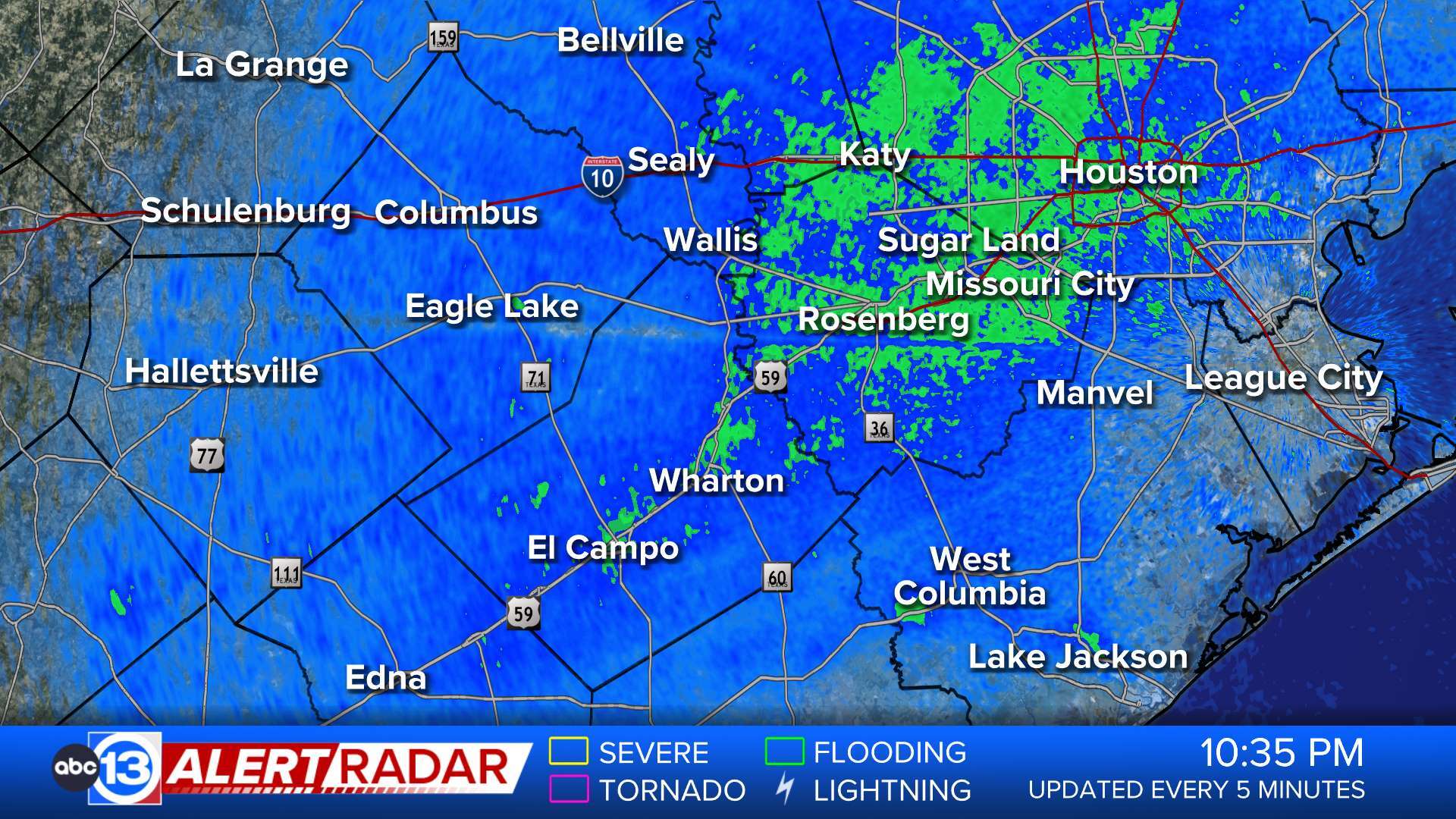
• Coastal Flood Advisory

    * WHAT...For the High Rip Current Risk, dangerous rip currents. For the Coastal Flood Advisory, minor coastal flooding expected. * WHERE...Aransas Islands, Kleberg Islands, Nueces Islands and Calhoun Islands Counties. * WHEN...For the High Rip Current Risk, through late tonight. For the Coastal Flood Advisory, from 5 AM early this morning to 5 PM CDT this afternoon. * IMPACTS...Flooding of lots, parks, and roads with only isolated road closures expected. Rip currents can sweep even the most experienced swimmers away from shore into deeper water. These rip currents can become life-threatening to anyone entering the surf.More

  • Rip Current Statement

    * WHAT...For the High Rip Current Risk, dangerous rip currents. For the Coastal Flood Advisory, minor coastal flooding expected. * WHERE...Aransas Islands, Kleberg Islands, Nueces Islands and Calhoun Islands Counties. * WHEN...For the High Rip Current Risk, through late tonight. For the Coastal Flood Advisory, from 5 AM early this morning to 5 PM CDT this afternoon. * IMPACTS...Flooding of lots, parks, and roads with only isolated road closures expected. Rip currents can sweep even the most experienced swimmers away from shore into deeper water. These rip currents can become life-threatening to anyone entering the surf.More

  • Wind Advisory

    * WHAT...Southeast winds 20 to 25 mph with gusts up to 35 mph expected. * WHERE...Portions of south central and southeast Texas. * WHEN...From 10 AM this morning to 7 PM CDT this evening. * IMPACTS...Gusty winds will blow around unsecured objects. Tree limbs could be blown down and a few power outages may result.More

  • Beach Hazards Statement

    * WHAT...Continued high rip current risk is now joined by potential for minor coastal flooding for the Saturday and Sunday morning high tide cycles. * WHERE...Gulf-facing beaches, as well as low-lying locations on the western shores of Galveston Bay. * WHEN...Through Sunday evening. * IMPACTS...Dangerous rip currents at Gulf-facing beaches. Minor coastal flooding at times of high tide in areas such as Crystal Beach, Bolivar Peninsula, Lynchburg, Seabrook, and Surfside. * ADDITIONAL DETAILS...Particularly vulnerable locations include, but are not limited to: Crystal Beach, Galveston Beach, Highway 87 and 124 intersection on the Bolivar Peninsula, the north approach to Lynchburg Ferry, Toddville Rd in Seabrook, Beach Drive and Blue Water Highway near Surfside.More

  • Wind Advisory

    * WHAT...Southeast winds 20 to 30 mph with gusts up to 45 mph expected. * WHERE...A portion of south Texas. * WHEN...From 10 AM this morning to 7 PM CDT this evening. * IMPACTS...Gusty winds will blow around unsecured objects. Tree limbs could be blown down and a few power outages may result.More

  • Flood Warning

    ...The Flood Warning continues for the following rivers in Texas... Trinity River near Moss Bluff affecting Liberty and Chambers Counties. For the Trinity River...including Crockett, Riverside, Romayor, Goodrich, Liberty, Moss Bluff...Minor flooding is forecast. * WHAT...Minor flooding is occurring and minor flooding is forecast. * WHERE...Trinity River near Moss Bluff. * WHEN...Until early Monday morning. * IMPACTS...At 12.2 feet, Minor lowland flooding begins in the vicinity of the gage. * ADDITIONAL DETAILS... - At 7:30 PM CDT Friday the stage was 12.6 feet. - Bankfull stage is 9.2 feet. - Recent Activity...The maximum river stage in the 24 hours ending at 7:30 PM CDT Friday was 12.7 feet. - Forecast...The river is expected to fall below flood stage early Sunday afternoon and continue falling to 10.7 feet Wednesday evening. - Flood stage is 12.2 feet. - Flood History...This crest compares to a previous crest of 12.6 feet on 04/01/1992. - http://www.weather.gov/safety/floodMore


Live Web Cams

Weather Team