ABC13 Weather Watch: Widespread storms could bring street flooding, hail
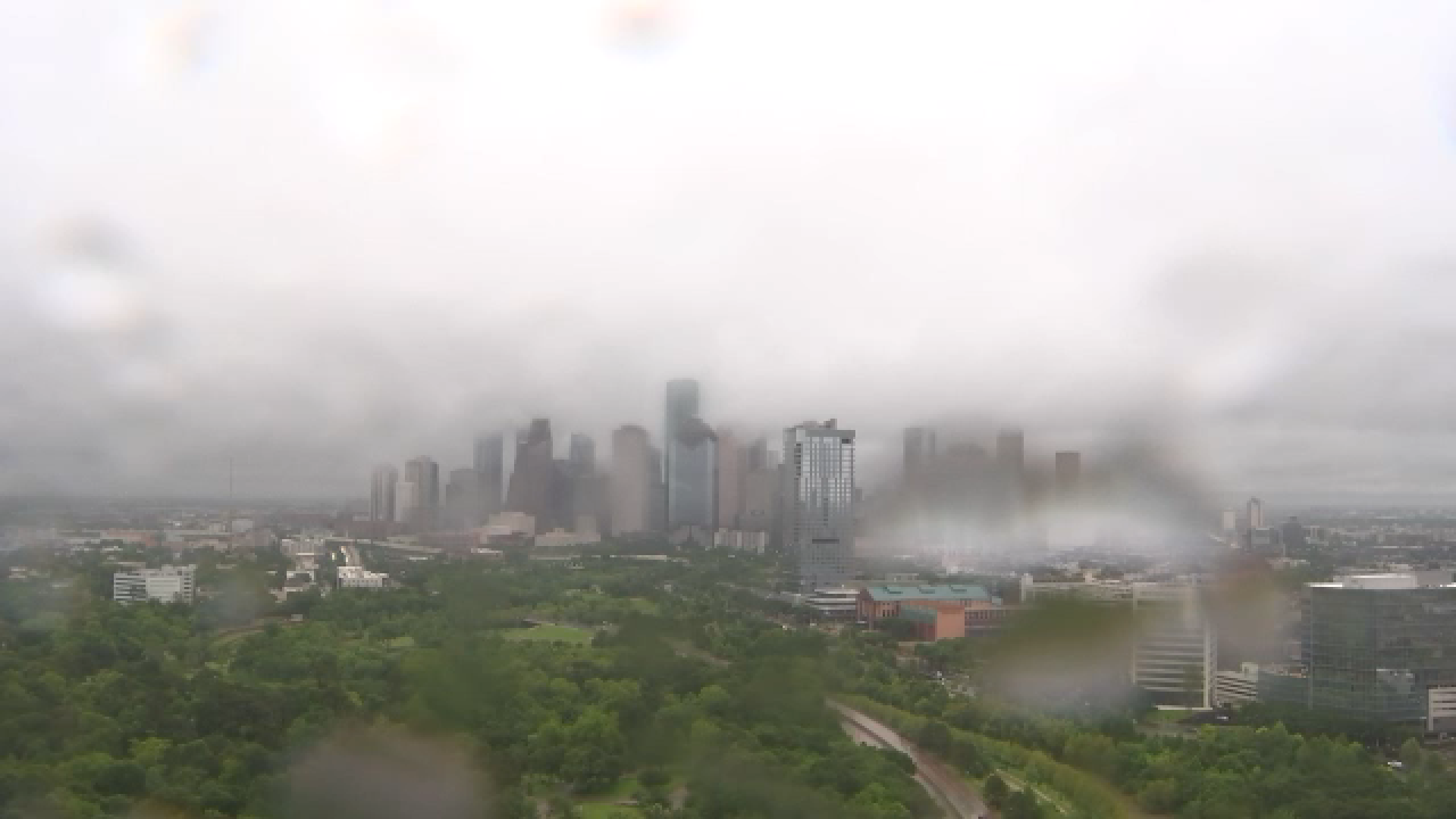
HOUSTON, Texas (KTRK) -- Pack the umbrella and the light jacket wherever you go today! An upper-level system coming in from the west is activating a stalled front over the Gulf, leading to widespread heavy rains with temps stuck in the 60s.
All but our coastal counties are under a Flood Watch until 4 a.m. Saturday, according to the National Weather Service. Street flooding is possible today with 1-3" of rainfall expect for most. There will be isolated spots that pick up 4-6" of rain, and that's where the street flooding is most likely. Small streams, creeks, and even rivers could flood, too. Severe hail is also possible in the stronger thunderstorms.
Multiple rounds of rain will continue off-and-on through the day, making for a messy drive around town all the way through the evening commute. The rain should taper down late this evening as we approach midnight.
So where does that leave us for weather this weekend?
With the front pushing fully offshore sometime Friday night, any rain lingering behind the front should clear out pretty quickly before sunrise Saturday. Cooler air flowing in on a north breeze will bring a morning low in the 50s and an afternoon high in the 70s. Sunday also looks spectacular with sunshine warming temps from the mid 50s into the upper 70s!
How long does that nice weather stick around?
We'll get to enjoy it through Monday, then the strong Gulf breeze whips the warm, humid air back in here by Tuesday. The early outlook for the rest of next week also looks stormy with a similar pattern setting up again Wednesday through Saturday. We'll refine the details on next week's storm system in the days ahead.
13 ALERT RADAR MAPS:
Southeast Texas
Houston
Harris County
Galveston County
Montgomery/Walker/San Jacinto/Polk/Grimes Counties
Fort Bend/Wharton/Colorado Counties
Brazoria/Matagorda Counties
Have weather tips, videos, and photos?
Send it to ABC13 using the form below. If you have a video or photo to send, terms of use apply. If you don't, just hit 'skip upload' and send the details.


