FEMA working with Harris County Flood Control District on new map


HARRIS COUNTY, Texas (KTRK) -- Flooding is an unfortunate part of life for millions of people in Southwest Texas.
All over our community, neighborhoods have been hit by flooding events that have seemed to have gotten more severe and more frequent. Now, for the first time in nearly two decades, FEMA is getting ready to finalize a new flood map, reflecting the growing risk of extreme flood events in Harris County.
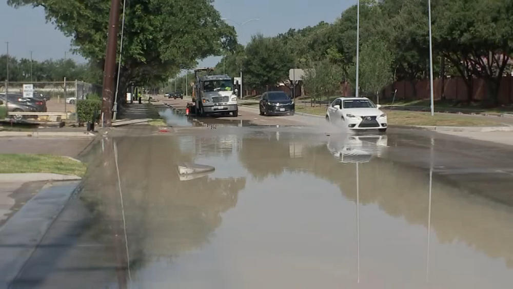
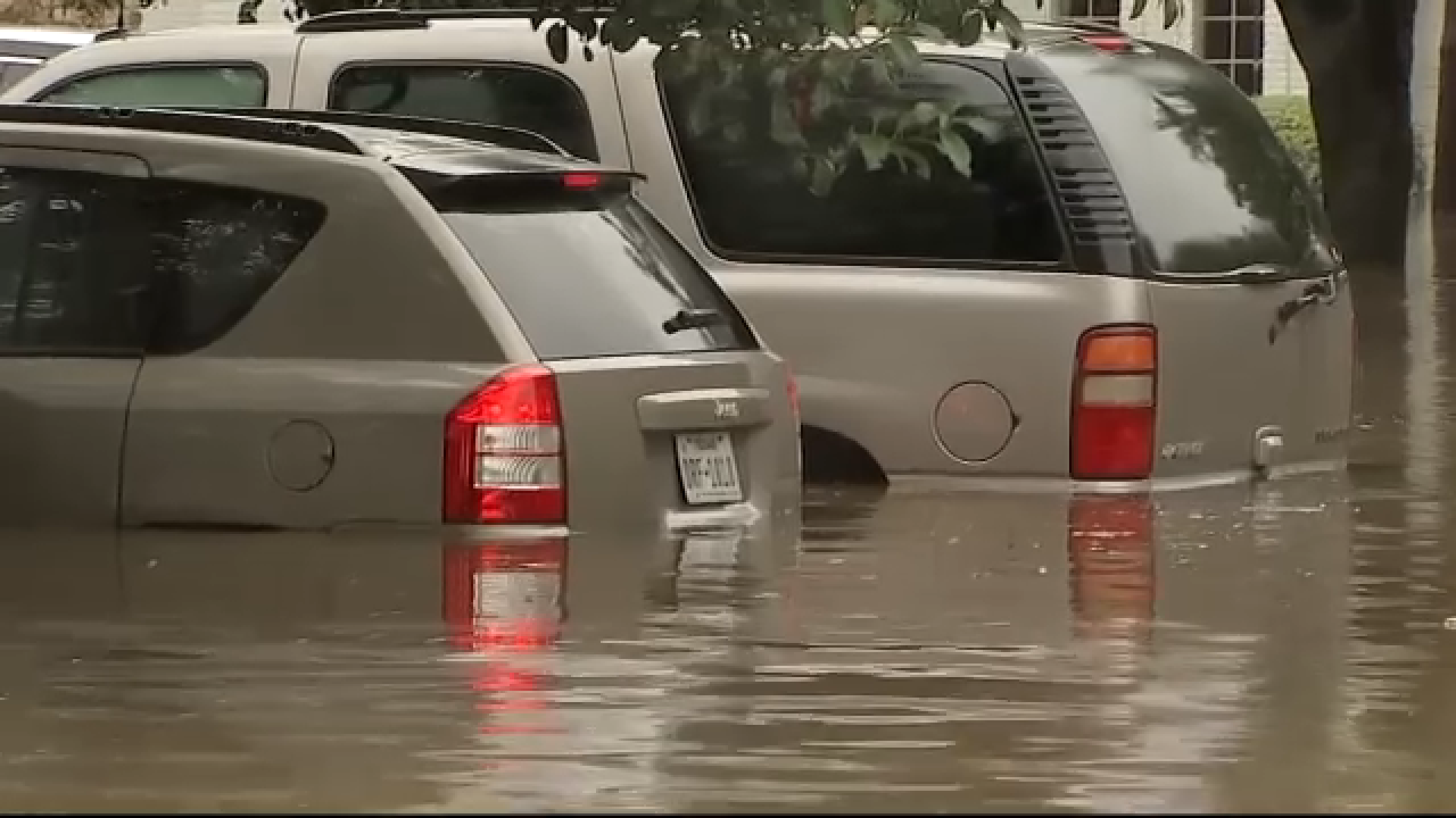
A draft of the new map shows that more neighborhoods are being moved into so-called higher-risk zones. Vehicles submerged in water. People pleading for help as they tried escaping from their flooded homes. Nearly a decade later, the wrath of Hurricane Harvey can still be felt across the Greater Houston Area.
"They had boats going through here during Hurricane Harvey." Edric Riley told ABC13 he bought this home near the Addicks Reservoir in Northwest Houston, an area hit hard by Hurricane Harvey. He said he bought it after it tore through the area, and it cost thousands to fix.
Another added expense was getting flood insurance, something he pays hundreds for every year.
"It got like 4 feet of water, and some houses got up to 9 feet," Riley explained.
According to a new flood map drafted by FEMA, his home has now moved to a "higher risk flood zone." A rendering of the new map compiled by our partners at the Houston Chronicle shows that his neighborhood previously wasn't in that higher-risk zone.
The federal agency builds these based on information from local government entities like the Harris County Flood Control District. The most recent map came out in 2007, and the flood control district partnered with FEMA after Harvey to update it, something that was supposed to be done in 20-22.
"FEMA guides the process. They are the owners of these maps. The flood control district was brought on as a local advisor, and so our job was to really make sure that we were representing the community and our understanding of flood risk," said Emily Woodell, Chief External Affairs Officer, Harris County Flood Control District.
The latest FEMA map shows there's been an expansion of the 100-year floodplain, meaning more homes and neighborhoods are at higher risk for flooding.
"If you are in a 100-year mapped floodplain, you're required to carry flood insurance on any federally backed mortgage. And so that pool of people will certainly expand," Woodell said.
For some newer Houstonians, an up-to-date flood map is helpful when buying a home. ABC13 spoke to one person who moved here from New Jersey and said that after learning his house was in an area prone to flooding, he knew there was no question when it came to flood insurance. He described how there's "a lot of stuff that we have. I would rather have a lot of stuff covered than paying out of my pocket."
While protecting your home can be costly, some residents feel there's no price you can put on safety.
"I have kids. You know, and I got to decide whether I'm paying this bill or taking care of that, so it is a big issue," said Riley.
This map from FEMA is just a draft. The flood district says it will launch a user-friendly map for the public next week. As for when the final version will be available and ready to go anywhere between 21 and 36 months.
Why is Harris County susceptible to flooding?
ABC13 Meteorologist Elyse Smith explains that the region is susceptible to flooding. And not just any kind of flood, but major, billion-dollar disaster-type flooding.
Some of it is natural, but some of it has come with time. One point to consider is how quickly the city of Houston has grown and the urban sprawl across Harris County.
The more that green spaces are replaced with concrete by expanding highways and infrastructure, the more runoff is produced during heavy rain events.
As we are consistently building in areas that are within a designated FEMA floodplain, this means you will have to pay more for flood insurance to protect your property.
Another factor to consider is the soil on which our region and communities are built. Clay naturally isn't as absorbent, so when the region receives tropical downpours, some will run off no matter what. And when you factor in climate change, warmer air can hold more water vapor, which can lead to heavier rainstorms and even stronger storms themselves.
Putting these factors together, it shouldn't come as a surprise that nearly 50% of all floods in Harris County occur outside of a FEMA-designated floodplain.