Recent La Niña ends, what this means for the 2025 hurricane season


HOUSTON, Texas (KTRK) -- Hurricane season is less than a month away, beginning on June 1 and lasting through the end of November. Ahead of the start of the 2025 season, ABC13 Meteorologist Elyse Smith has an update on one of the factors that could influence this season and ways you can prepare now for future storms.
This spring will mark the end of the recent La Niña that was in place for months. A La Niña, or El Niño, is part of an ocean to atmosphere circulation called "El Niño Southern Oscillation," or ENSO for short. A La Niña is when cooler than normal ocean temperatures take hold in the eastern Equatorial Pacific Ocean off the coast of South America. An El Niño is the opposite, unusually warmer than normal ocean temperatures are present in the same region. Within the past few months, average sea surface temperatures in this region have warmed up to be near-normal. This is called ENSO-neutral, or what some forecasters nickname as "La Nada." It's not a technical term, but one that can be easier to remember than ENSO-neutral. And these ENSO-neutral, or "La Nada," conditions are expected to last for most of the 2025 Atlantic Hurricane Season.
The importance of ENSO during hurricane season is seen through many ways, one being how it impacts the trade winds over the Atlantic Ocean. In La Niña, the trade winds over the Atlantic weaken, which can lead to a more active hurricane season. For ENSO-neutral, trade winds aren't impacted as much in terms of strength or positioning. This means other factors, such as Saharan Dust and water temperatures in the Atlantic, can play a more prominent role in the season.
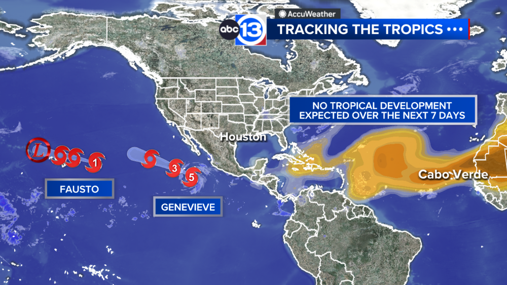
For example, Saharan Dust that comes off the west coast of Africa can impact the region where tropical storms develop, making it harder for them to. There have already been two large Saharan Dust events in the Atlantic this spring, with dust clouds making it as far west as Trinidad and Tobago. This will be something to watch early on in the 2025 season.
One of the other seasonal drivers, especially regarding hurricane intensity, is sea surface temperatures. More so, how warm they are. A big reason why Hurricane Beryl was able to intensify so fast so early in the 2024 season was thanks to, in part, the record warm water temperatures in June of last year. Currently, water temperatures across the Atlantic are warmer than normal once again, but not as warm as this time last year.
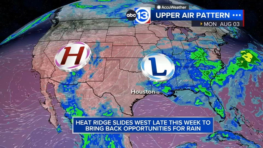
Finally, local weather patterns always play a role in where hurricanes track, like when there's an active jet pattern over the gulf or a large heat dome over the state of Texas. The bigger weather patterns can both steer tropical systems and allow them to strengthen or weaken too.
This week is also National Hurricane Preparedness Week, meaning it's a great time to double check home and flood insurance policies. If you're still in the market for flood insurance, remember it takes 30 days for those policies to go into effect. So if you were to purchase a flood insurance policy on May 8th, it wouldn't begin until June 8.
For more on this story, follow Elyse Smith on Facebook, Twitter and Instagram.