Tropical expert weights in on rapid intensification process and notes 2 areas of future research

HOUSTON, Texas (KTRK) -- Wednesday marks one week since Hurricane Francine made landfall in Louisiana. Just before making landfall, the storm quickly strengthened to a Category 2 storm.
The rapid intensification process of tropical systems has become more prevalent within the past two decades.
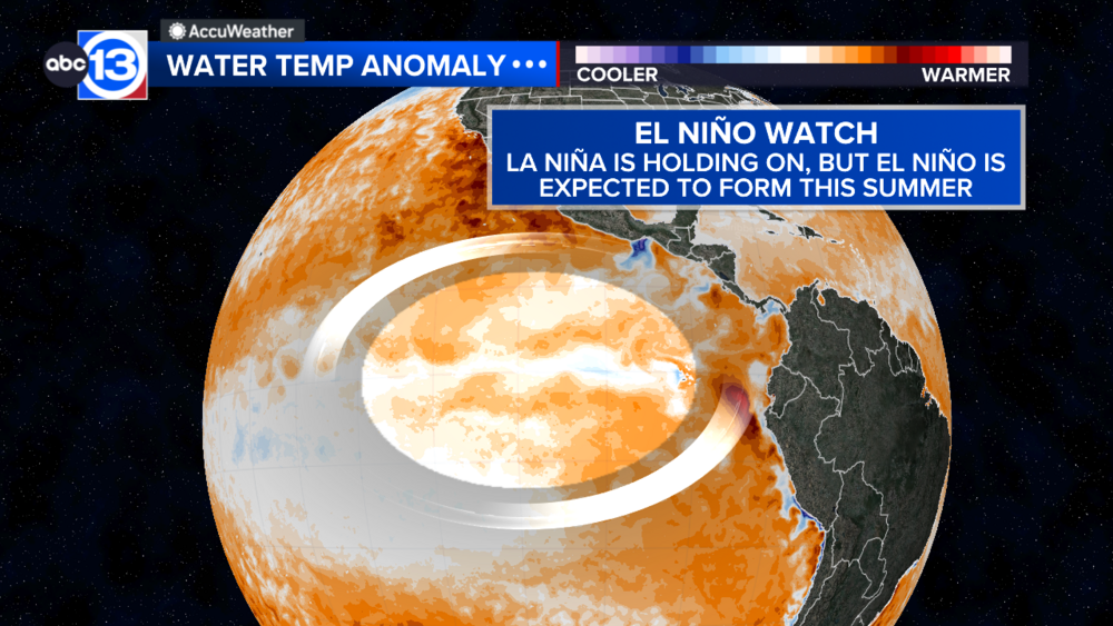
Our partners at Climate Central point to the warmer-than-normal water temperatures across the Atlantic, Caribbean, and Gulf of Mexico that can lead to more storms going through the rapid intensification process.
Dr. Brian Tang is an associate professor and tropical expert at the University of Albany in New York.
He explained to ABC13 Meteorologist Elyse Smith two key areas of the rapid intensification process researchers are currently studying.
The first has to do with storm shape. The taller and more vertically aligned a storm is, specifically around the eye, the less likely it is to weaken when facing wind shear or dry air, two elements that typically weaken a tropical system.
One recent example of a storm overcoming both conditions thanks to its structure and shape is Hurricane Ian in 2022. Ian made landfall as a Category 5 storm near Fort Myers, Florida.
The second is where the hurricane conditions can strengthen.
"There are areas of the storm where it gathers more energy than others, and what side of the storm it gathers that energy on actually matters a lot, according to our research," Tang said.
He notes that Hurricane Beryl from this season is an example of how the storm could intensify so quickly, thanks to thunderstorm growth around the system.
Beryl was also an extreme example of rapid intensification, strengthening from a tropical depression to a major Category 4 hurricane within two days.
Data from Climate Central shows how storms that rapidly intensify by 58 mph or more have become even more prevalent within the past two decades.
Yet, researchers agree that science should not overshadow the impacts hurricanes bring and the threats they pose, such as life-threatening flooding and surges, damaging winds, and tornadoes.
For more on this story, follow Elyse Smith on Facebook, X and Instagram.


