Hurricane Beryl 1 year later: Lessons learned from how the city of Houston flooded during the storm


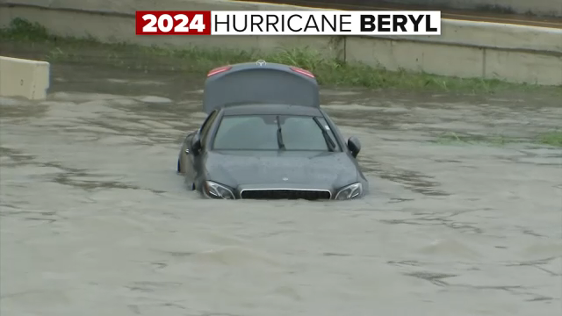
HOUSTON, Texas (KTRK) -- Hurricanes represent a force of nature through both wind and water. And while many recall the worst of Beryl being from the hurricane-force winds the Category 1 storm produced when it made landfall, we can't forget how Houston-area streets and highways also went underwater from Beryl's flooding rains. ABC13 Meteorologist Elyse Smith breaks down why Beryl's floodwaters were not as invasive as seen through previous tropical systems and floods of recent memory.
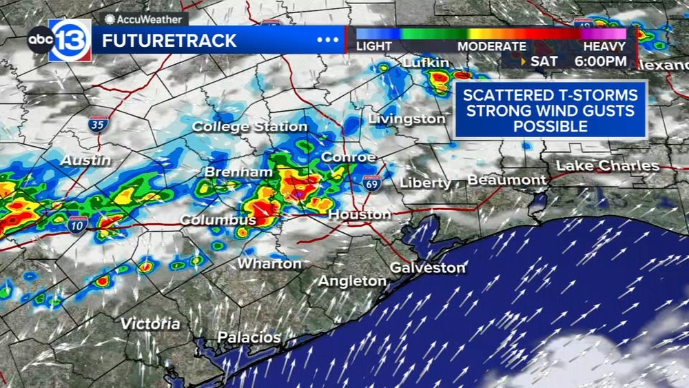
The biggest takeaway is this: most of Houston's roads are meant to capture and hold water during heavy rain events. This is what then helps prevent flooding from going into local homes and businesses. But it's also what can make driving around Houston in heavy rain events scary, as street flooding can quickly turn to flash flooding when conditions are right.
And that's exactly what happened on Highway 288 south of the city on July 8, 2024. ABC13 was there to capture a water rescue that occurred later in the morning after Beryl made landfall.
READ MORE: Driver lifted to safety after getting stuck in floodwaters on Highway 288, vehicle remains stuck

Flash flood warnings went out across the city as torrential, tropical rains turned our streets into rivers. And what specifically contributed to the flooding at the Highway 288 location was the Brays Bayou going out of its banks.
Katie Landry Guyton is the senior hydrologist at our National Weather Service Office in Houston. Besides street flooding, she tells ABC13 there weren't major bayou issues because of the short duration when the heaviest rain fell during Hurricane Beryl.
"We typically don't have major bayou issues until you start seeing eight-to-nine-inch rainfall totals. And we got about an average of six to nine inches across Harris County. So we got to that threshold of starting to see out-of-bank conditions within Harris County," Guyton said.
That, plus the impact of flood mitigation efforts over the past decade. "If you're doing any changes to the bayous and retention ponds, those are going to help in any case," she added.
SEE ALSO: New facility coming to Mission Bend area to help responders train after central Texas flooding

One factor to consider with any potential approaching tropical system is the conditions that preceded the storm. In the weeks and months leading up to Beryl, much of southeast Texas had above-normal rainfall for late spring and early summer. There was even major river flooding along the Trinity River in May of 2024. So the ground was pretty saturated when Beryl brought its heavy rainfall, which also contributed to the extensive tree damage and resulting power outages, thanks to the wet ground and high winds.
And knowing much of southeast Texas has seen another wet and rainy pattern recently, if we were to have a tropical storm within the next few weeks, the saturated ground would certainly play a role.
For more on this story, follow Elyse Smith on Facebook, Twitter and Instagram.