Sunday will be another scorcher, stray shower or storm possible too

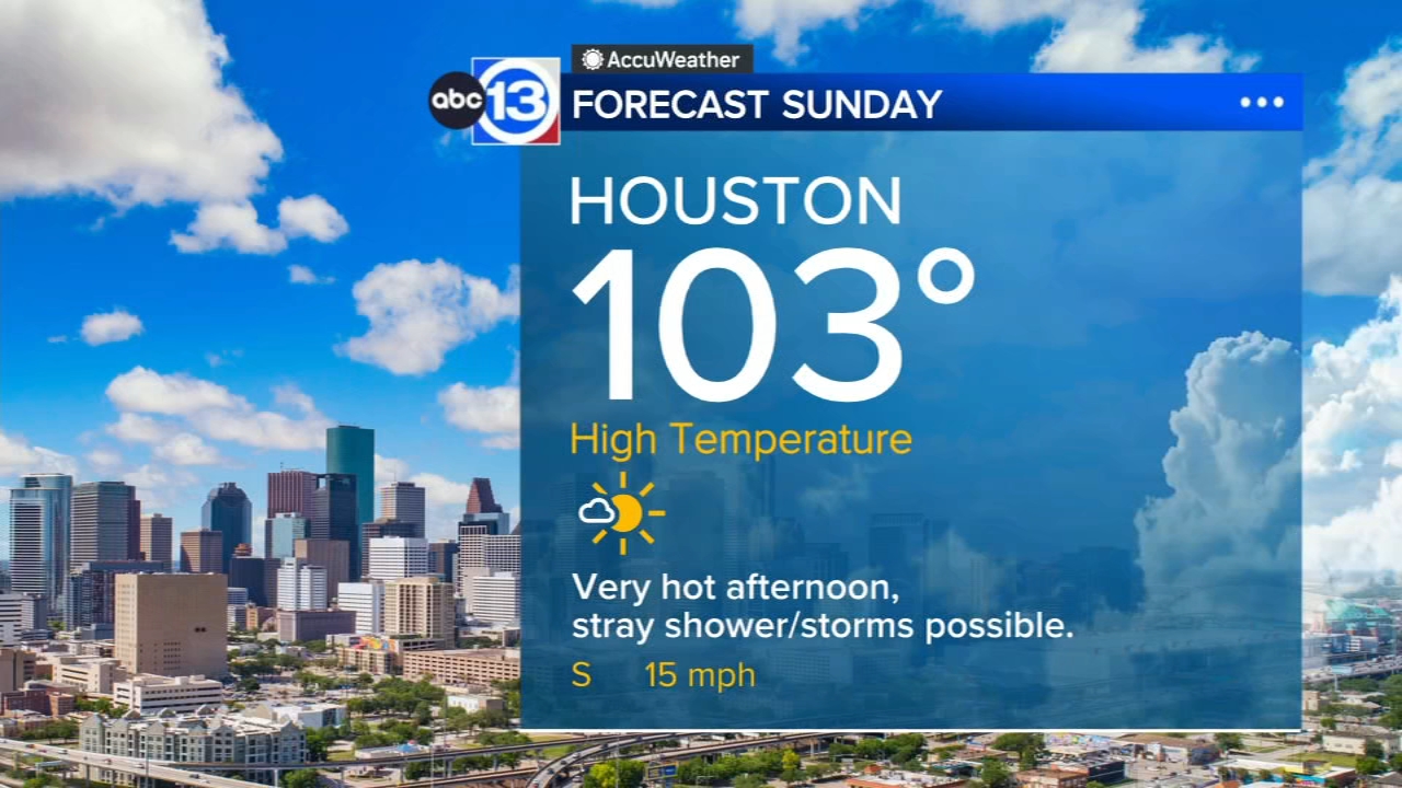
HOUSTON, Texas (KTRK) -- Houston hit 102 Saturday, and it will only get hotter for Sunday. A weak front next week could bring some relief with higher rain chances, but right now they only sit at 30% for Thursday and Friday.
Any of the pop-up showers and storms that developed north of the city of Houston across Southeast Texas will fizzle as the sun set. It's going to be another very warm night with temperatures falling from the triple digits to low 80s Sunday morning. Sunday will be just as hot with a Heat Advisory in effect until 7 p.m. for all of Southeast Texas. High temperatures will be back in the triple digits near 103 degrees with a bright and sunny afternoon. And once again there's the chance for a stray shower or storm to form north of Houston, though most of Southeast Texas will remain dry.
Is there any rain in the forecast?
Yes, but the chances are slim. Frist up we've got a 20% chance of rain once again for Sunday. Because it will be so hot, if a thunderstorm develops, it could produce wind gusts over 50 mph and possibly turn severe. But just as quickly as these weekend showers and storms develop, they also fizzle and rain out. Next week we have a 30% chance of rain on Thursday and Friday as the heat dome slides back to the west and moisture levels rise. If we gain confidence that the heat dome will slide fairly far to our west, then our rain chances will go higher.
What should I know about the potential for a flash drought?
First, it's important to understand what a flash drought is. This is what we call it when a drought suddenly develops over 1 or 2 weeks of hot, dry weather instead of the usual 1 or 2 months it takes a more typical drought to develop. We are already seeing "abnormally dry" conditions spread across Southeast Texas, and soon moderate drought may return. This means if you want to keep drought-sensitive vegetation alive during this heat wave, you will need to provide the water. You might also consider providing low amounts of water to your home's foundation to help stabilize the soil moisture and prevent movement in the ground that supports your foundation. This is especially important if your soil is mostly composed of clay.
Are there any signs that this hot, dry pattern will break any time soon?
We see a glimmer of hope that the pattern could budge some toward the end of next week, which is why we have an "optimistic" high of "just" 100 and a 30% chance of rain in the forecast by Thursday. Friday looks even better with a high of 98 and a 30% chance of rain. This weather change will be caused by a weak front that could bring more widespread rainfall. For now we are keeping our expectations low until we gain more confidence on the pattern change.
What's happening in the tropics?
Tropical Storm Moke in the Central Pacific could threaten Hawaii with more rain and rough surf this weekend. Meanwhile in the Atlantic, we are watching a few areas for the potential for development. For a more in-depth discussion on what's happening in the tropics, visit our Daily Tropical Update page.
13 ALERT RADAR MAPS:
Southeast Texas
Houston
Harris County
Galveston County
Montgomery/Walker/San Jacinto/Polk/Grimes Counties
Fort Bend/Wharton/Colorado Counties
Brazoria/Matagorda Counties
Have weather tips, videos, and photos?
Send it to ABC13 using the form below. If you have a video or photo to send, terms of use apply. If you don't, just hit 'skip upload' and send the details.