Houston's 'Hot-tober' ranks as one of warmest on record for the month

HOUSTON, Texas (KTRK) -- This October, which many have coined "Hot-tober," will be one for the record books in at least two different ways.
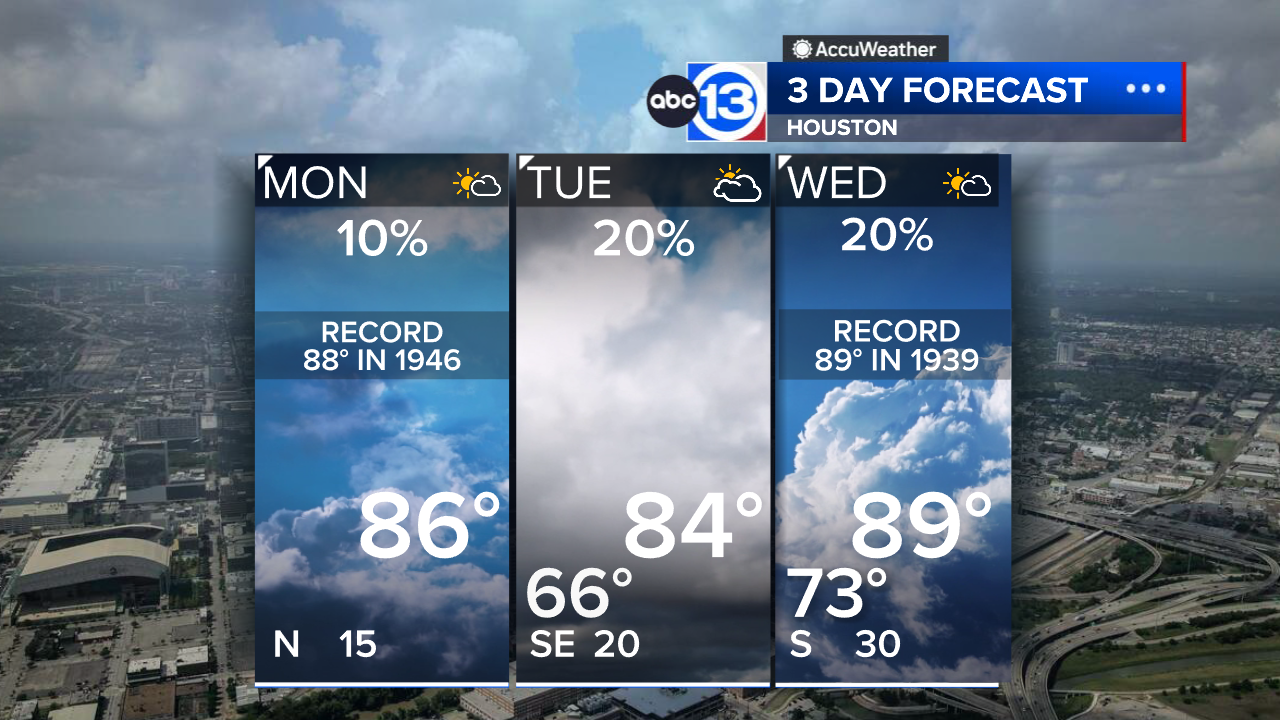
First, as of data through Oct. 28, this October ranks as the fourth warmest on record for the month in Houston, with an average temperature of 76.3 degrees. With the warm conditions expected through the end of the month, 2024 could easily break into the top three. And there's a new record for the number of 90-degree days in October, as we've seen 18 this month.
This significantly above-normal temperature trend we've seen in southeast Texas this month is an example of one impact related to climate change. Summers are becoming longer, with temperatures warming earlier in the spring and lasting longer into fall.
Dr. John Nieslen-Gammon, the Texas state climatologist, said these warmer fall days are a result of temperatures increasing by more than half a degree each decade.
"We're essentially actively recalibrating to climate change and recognizing that this is both unusually hot and pretty much normal now," he said.
And not only has it been warm, but dry, too. Houston has only recorded a trace amount of rain since Sep. 24.
The combination of warm temperatures and dry weather has led to drought conditions setting in across southeast Texas and much of the state.
RELATED: Texas Forest Service prepares for wildfire risk as Houston drought worsens after month without rain

As of Oct. 29, most of southeast Texas has moderate to severe drought conditions. Extreme drought conditions are also present in areas near San Antonio, Austin, El Paso, and along the Red River valley.
These fall drought conditions are starting to have an impact on crops, specifically wheat.
Nieslen-Gammon explained how wheat farmers are struggling to plant their crops because the ground is so dry, and there is a lack of rain to help germinate the crops that have been planted.
"We're already looking at impacts on crop that's going to be harvested next May and June," he said.
Current projects show that drought conditions could continue in southeast Texas for the next few weeks if we don't have several inches of rainfall over the same timeframe.
Furthermore, the wintertime outlooks show warm and dry conditions prevailing from December through February.
Those very much resemble a La Nina wintertime pattern, too, as a weak La Niña is favored to develop over the next few months. That means the impacts the current and future drought conditions could have on statewide farms are something to monitor over the next few months.
For more on this story, follow Elyse Smith on Facebook, Twitter and Instagram.


