2016 Tax Day flood study highlights expansive flood threat for Houston, Harris County


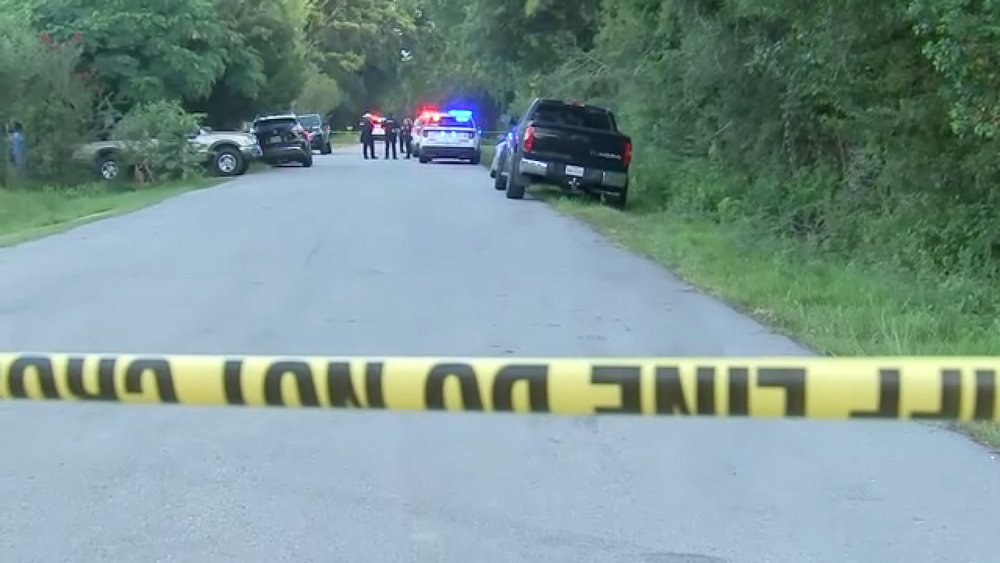
HOUSTON, Texas (KTRK) -- This month marks 10 years since the Tax Day flood decimated portions of southeast Texas.
And the irony is, while the Tax Day flood was a "new normal" kind of storm for its time, its legacy would be quickly outshone by Hurricane Harvey a year later.
RELATED: Remembering the Tax Day flood of 2016
Now, a team of researchers at Rice University is learning more about what the impact would be if the Tax Day Flood were to hit today. Furthermore, if the heaviest rain from the event had been centered over Houston and Harris County instead of rural Waller County.
Jim Elliott and Dominic Boyer are professors at Rice University and directors of the Center for Coastal Futures and Adaptive Resilience.
While thousands of homes flooded in Harris County as rivers and creeks overflowed, the depth of the floodwaters in Houston couldn't compare to what happened in Waller County. There were 15 inches of rain that fell there with the fast-moving storm, while widespread across Houston, totals ranged from four to upwards of seven inches on average. There were some locally higher rainfall amounts of a foot closer to the Waller County line.
Their "what if" idea for this study stems from curiosity about what would happen in a worst-case flood scenario. Then, researchers could assess the true scope and risk of a flood of that magnitude. So... what if the heaviest rain from the Tax Day flood fell in a more populated area? The team has two examples so far to learn from.
"We first moved (the flood) into the Clear Creek watershed around NASA and Johnson Space Center. And found that quite a few homes would flood quite rapidly to extensive depths," Elliott said.
The team then ran the same simulation in the Hunting Bayou watershed. In 2016, over 10,000 homes flooded there on Tax Day by about half a foot of water. Compare that to the heaviest rainfall totals from the event, the 15 inches of rain that fell in Waller County, you double the depth of floodwaters that would have impacted neighborhoods in the Fifth Ward and Galena Park.
Besides learning a new way to conceptualize flooding in Houston, their assessment tool comes at a critical time: the new FEMA flood maps are in development. And these researchers believe even those new flood maps might not paint the whole picture.
"With the current conversations in the FEMA flood maps, those are very important, but effectively what they're doing statistically is looking at the future through the rear view mirror," Boyer said.
In other words, even future FEMA flood maps, which help set the standard for flood insurance policies, aren't considering the next "never-before-seen storm."
Furthermore, Boyer notes, "We haven't quite adapted to the idea of the worst credible storms that could be coming our way."
From a weather perspective, a warmer atmosphere can hold more water vapor. That's what leads to heavier rainfall rates, thus higher rainfall totals. Paired with the landscape of southeast Texas, this is what increases the threat of flooding from everyday rainstorms to hurricanes that Houstonians must be prepared for.