What is the polar vortex? Here's how soon we can forecast its potential impact

HOUSTON, Texas (KTRK) -- Over the past week, viewers have been coming to the ABC13 Weather Team with questions about a possible arctic blast later this month. Those rumors came from a weather blog in north Texas that posted about the "polar vortex" a few days after Christmas.
At the moment, there is no cold air outbreak in the forecast, even extended. But let's revisit the polar vortex, explain what it is, and the signs we look for as meteorologists that could be clues to its potential arrival here in the United States.
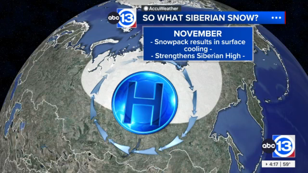
For starters, the polar vortex is located 10 to 30 miles above the ground in the stratosphere, the layer above the troposphere (where we live and weather mainly occurs). The polar vortex forms in the Arctic Circle in the winter months due to the lack of sunlight associated with the season. The division between frigid cold temperatures at the North Pole and warmer temperatures into the mid-latitudes helps create a strong jet stream around the Arctic Circle, hence the name polar vortex.
The polar vortex has a naturally occurring east-to-west orientation that keeps the cold arctic air in place. But when the vortex weakens or breaks down, it can dip farther south - from a strong circular formation of the jet to more of a wavy pattern, allowing for that frigid air to spill into Canada and sometimes even the United States. And for this to occur, many variables have to come together.
One of the signs we look for when monitoring for a potential polar vortex event is actually just the opposite: Warming. It's called "Sudden Stratospheric Warming," when the region where the polar vortex resides begins to warm. We're not talking about actual "warm" temperatures either, but enough for the difference between the extremely cold air over the North Pole and the air to its south to become more uniform. That can allow for the polar jet stream, aka polar vortex, to dip and take on a new shape.
Sometimes, these signs can appear as early as a month from an actual warming event, but it typically is not consistent enough to forecast an arctic air outbreak. A perfect example is the one that cycled social media at the end of December: A screenshot of a long-range computer model showing 16 degrees in Houston on Jan. 24. The same model a week later shows 43 degrees for the same day. This is another example of how greatly the weather forecast can change from week to week, even more so month to month.
All this being said, it's highly unlikely to predict such an event as a cold air outbreak from the polar vortex a month in advance. At best, if there is enough consistency in forecasting methods, the ABC13 Weather Team might even mention such an event about two weeks out.
As for this winter, there have been some signs that warming is occurring in the region where the polar vortex is. Based on climatology, now is when we start to monitor signs that would indicate a breakdown of the polar vortex, which typically would occur sometime later this month or in February. But, that doesn't guarantee its arrival, especially this far south in Houston, this winter.
For more on this story, follow Elyse Smith on Facebook, Twitter and Instagram.


