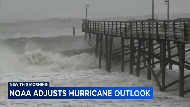
Peak of Atlantic hurricane season: More tropical waves to watch heading into the end of August


As Hurricane Erin continues to churn in the Atlantic, two more tropical waves are expected to move off the west coast of Africa before the month is over. This comes as hurricane season begins to enter its peak timeframe, when water temperatures are at their warmest and atmospheric conditions begin to become favorable for storm development.
Right on time, the tropics in the Atlantic have come alive this month after a nearly months-long hiatus in July. Besides Hurricane Erin, two tropical waves farther east in the Atlantic have low to medium odds of developing over the next two weeks. One is currently forecast to take a similar track to that of Erin, tracking east of the Caribbean and staying in the Atlantic.
SEE ALSO: What NOAA predicts for the rest of the 2025 Atlantic hurricane season
Then there's another tropical wave that, as of Tuesday, Aug. 19, just moved off the west coast of Africa. Because this wave is so far away and just entering the Atlantic, there's more variability with when this wave could develop into a potential tropical system and where it could go. If this wave were to develop into a tropical storm or hurricane farther east across the deep tropics, it would likely take a similar track to that of Erin as well, riding around the large Bermuda High. However, if this wave were to make it farther west and develop closer to or, if not, in the Caribbean, then it could pose a risk to Southeast Texas if it were to move into the Gulf in early September.
So while the main pattern trend favors storms staying in the Atlantic for now, that may not be the case later this fall. One thing to note about if or when any system either develops or tracks into the Caribbean, there are extremely warm, untouched seas that any tropical system could use as fuel to rapidly intensify later this season.
For the month of August, the usual tracks a storm could take are like that of Erin (staying in the Atlantic around the Bermuda High) or developing east of the Lesser Antilles and then entering the Caribbean. If a storm were to enter the Caribbean, it could then track northwest into the Gulf or stay farther east, closer to Florida. For September, we begin to see that trend open up even more avenues for storms to enter the Caribbean and Gulf during what is typically the peak season.
The climatological peak of the Atlantic hurricane season occurs on Sept. 10, but as Dr. Phil Klotzbach with Colorado State University notes, conditions begin to be more favorable for storms as early as Aug. 20. He tells ABC13 Meteorologist Elyse Smith, "My mentor, Dr. Bill Gray, used to actually ring a bell every year on August the 20th signaling the active part of the season."
For more on this story, follow Elyse Smith on Facebook, Twitter and Instagram.