Severe Thunderstorm Watch in effect until 5 am, strong storms expected overnight


HOUSTON, Texas (KTRK) -- After a hot Mother's Day weekend, an approaching cold front Sunday night will bring scattered showers and storms overnight into early Monday morning. It's then drier and breezy for Monday.
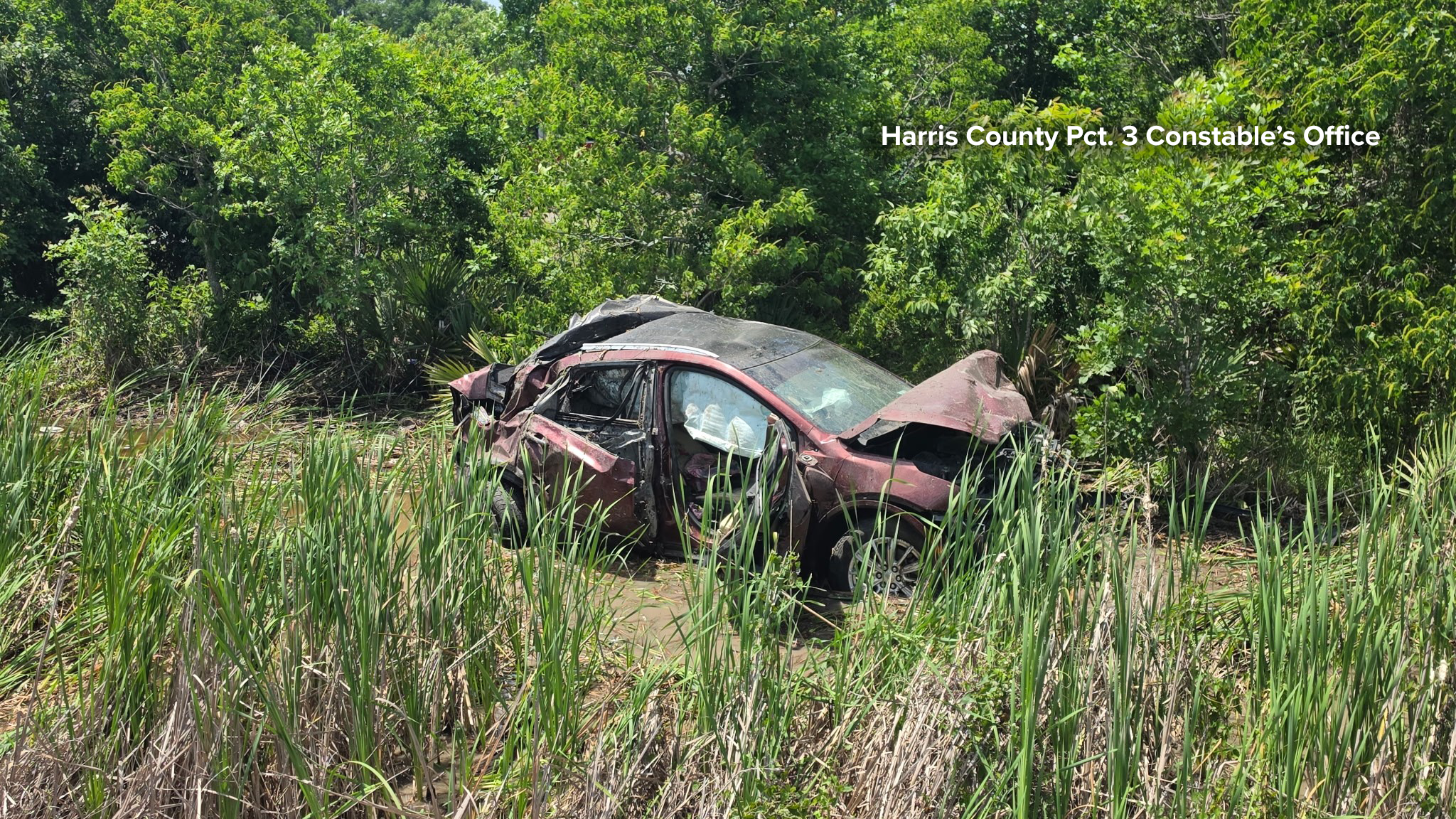
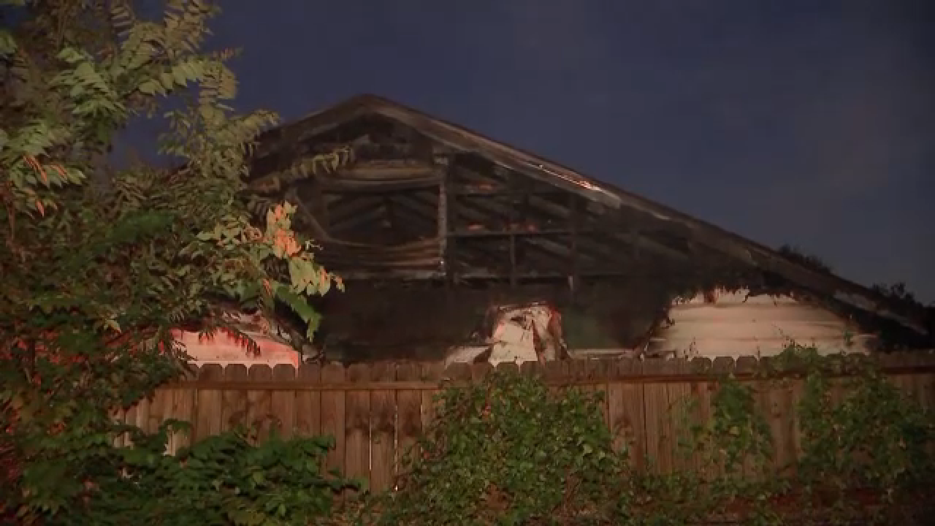
A Severe Thunderstorm Watch is in effect until 5 a.m. for most of Southeast Texas, including Houston and Harris County. Strong to severe storms capable of producing winds upwards of 70 mph, quarter to ping pong ball size hail and a few tornadoes will track from north to south across the region late Sunday night and into early Monday morning. These storms could be loud too with lots of thunder and lightning, arriving into Houston and Harris County between 1 and 3 a.m. Generally, we're expecting these storms from about 10 pm Sunday to 5 am Monday, so the rain should clear by the time you're heading out for the day Monday. Monday will be drier and breezy with the chance for a spot shower as drier air comes in from the north. We'll see more clearing into the afternoon to allow for temperatures to warm back up into the mid 80s, but it likely wont feel as hot and humid outside as what we had over the weekend.
It's been quite rainy lately. Is any more rain expected this week?
This week starts off fairly dry once the front clears early Monday morning. Rain chances will stay very low throughout the week with higher moisture levels not returning until next weekend. So overall this next work week is on the drier side, but it'll definitely be warming up.
How about these 90-degree days we saw over the weekend. Any more of those?
Given that average high temperatures in mid-May are usually in the mid 80s, our warmest days are going to trend to be close to 90-degrees and likely with a heat index that'll make it feel that warm. Later this week we'll get a taste of summer once again as a heat dome slides over the state, keeping afternoon highs in the upper 80s or low 90s beginning Wednesday through next weekend. Mornings could be especially warm and muggy too by Friday in the mid 70s.
What's the latest on drought conditions with all this rain?
We continue to see improvements! In fact, most of Houston and Harris County are now drought-free, and the intensity has lessened all across Southeast Texas. With more rain the forecast these next few days, we should see continued reductions in drought conditions across the region.
13 ALERT RADAR MAPS:
Southeast Texas
Houston
Harris County
Galveston County
Montgomery/Walker/San Jacinto/Polk/Grimes Counties
Fort Bend/Wharton/Colorado Counties
Brazoria/Matagorda Counties
Have weather tips, videos, and photos?
Send it to ABC13 using the form below. If you have a video or photo to send, terms of use apply. If you don't, just hit 'skip upload' and send the details.