

ABC13 Houston Weather Radar for Southeast Texas
ABC13 Radar Network
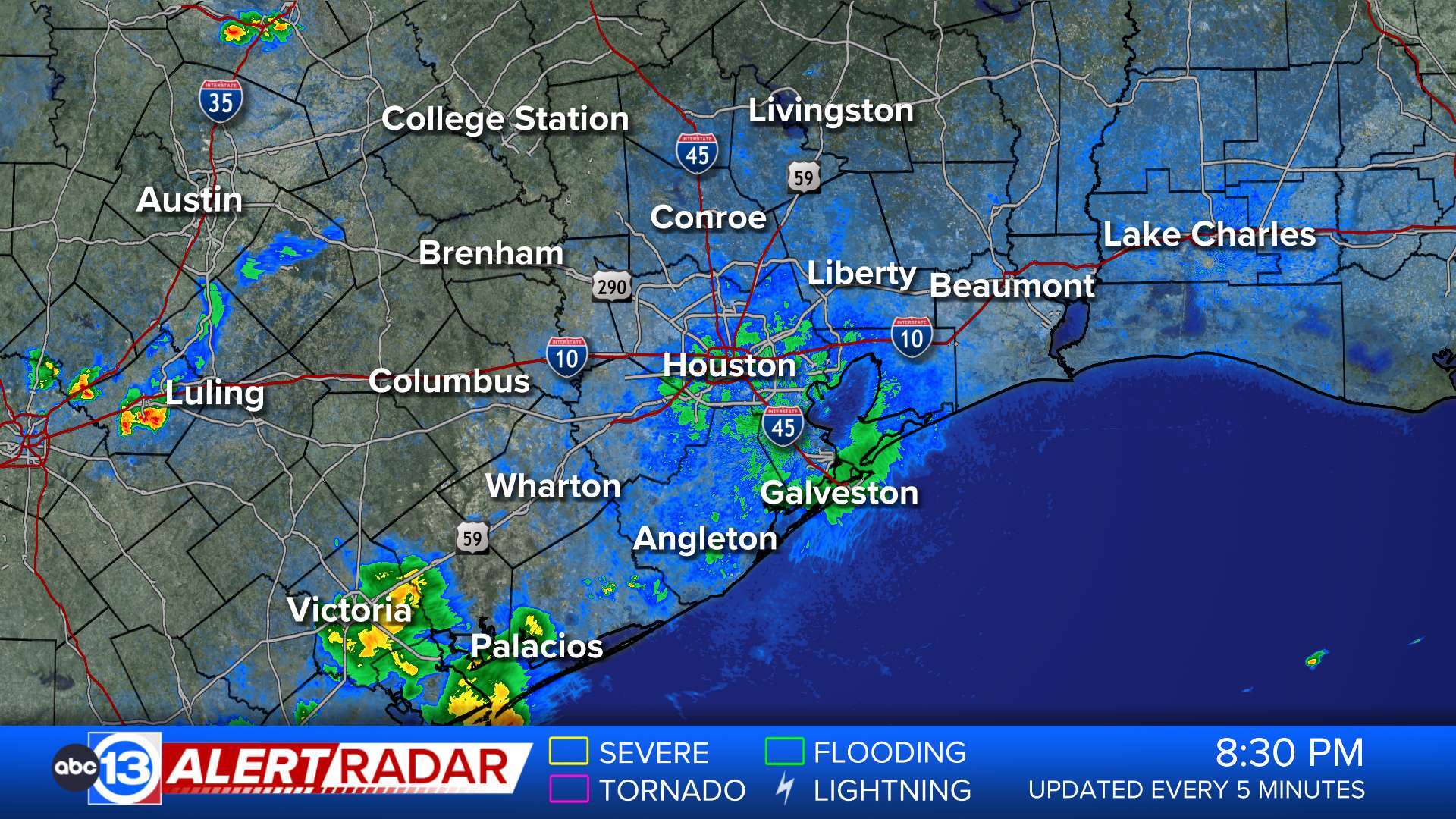

- Flood Warning
...The Flood Warning is extended for the following rivers in Texas... Guadalupe River Near Bloomington affecting Calhoun, Victoria and Refugio Counties. For the Guadalupe River...including Victoria, Bloomington...Minor flooding is forecast. * WHAT...Minor flooding is forecast. * WHERE...Guadalupe River near Bloomington. * WHEN...From Friday evening to early Sunday morning. * IMPACTS...At 20.0 feet, Minor lowland flooding occurs, with the flow reaching the right flood plain near the Invista Plant near Bloomington. Downstream above Highway 35, the flow escapes into the left flood plain cutting off the lowest homes.More
Live Web Cams
Weather Team


