Torrential downpours could bring flooding to SE Texas

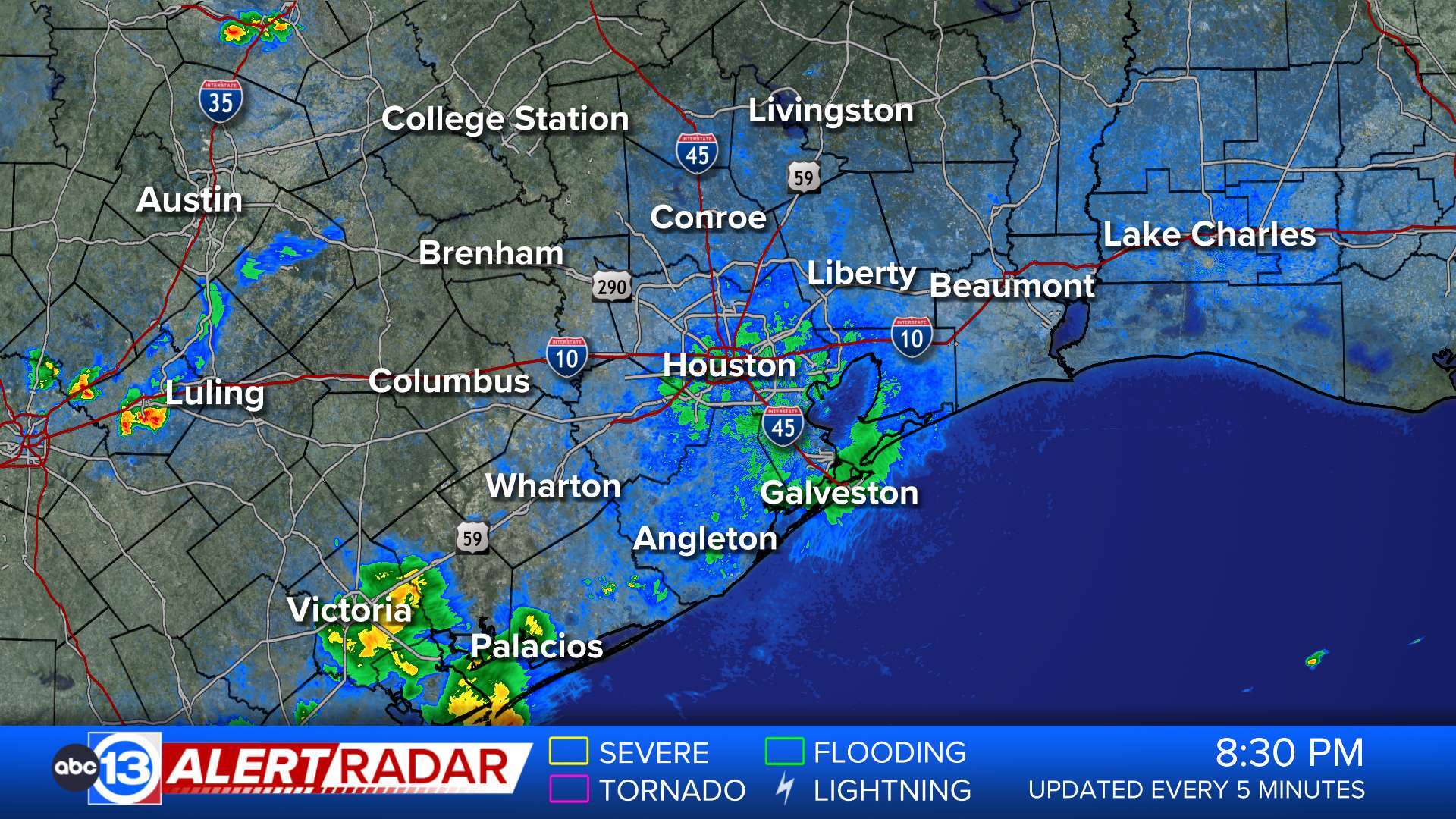
HOUSTON (KTRK) -- Tropical moisture will produce torrential downpours across the Houston area beginning tonight and continuing off and on through Friday. The moisture is from a tropical wave in the Gulf of Mexico and the remnants of Hurricane Odile in the eastern Pacific Ocean, blowing eastward on strong winds in the upper atmosphere.
Overall, most of the Houston area could pick up 3-4 inches of rain the next three days. Widespread flooding problems are not expected, but rainwater could accumulate in some low-lying spots and cause a few travel problems around the city. Given the abundance of moisture in the atmosphere there's a moderate risk of frequent lightning and a slight risk of tropical funnel clouds, according to the ABC-13 Risk Assessment.
The best chance of rain is Wednesday and Thursday. The showers will become more scattered on Friday, but could still be heavy where the showers develop.
Keep the radar at your fingertips, and stay informed with audible weather alerts from the ABC-13 Weather App.