High water impacting area roads


HOUSTON (KTRK) -- There are multiple flash flood warnings for the greater Houston area, meaning that heavy rains could quickly drop more water than the ground and drainage systems can handle. Drivers should be especially cautious, watching for high water spots on the roads.
The following roads are reported to have high water: 12:15pm
- SPUR-5 Southbound at LOCKWOOD DR/ELGIN Unknown 09/19/2014 9:43 AM
Information: Houston Transtar
If you do come across flash flooding while driving this morning, remember to turn around, don't drown. The National Weather Service warns that most flood deaths occur in automobiles. You should never drive your vehicle into areas where the water covers the roadway. Flood waters are usually deeper than they appear and just one foot of flowing water is powerful enough to sweep vehicles off the road.
Watch live streaming Mega Doppler 13 radar
- A flash flood warning for northeastern Austin County, northwestern Harris County, southern Waller County, and northwestern Fort Bend County remains in effect until 10:30am.
- A flash flood warning for eastern Harris County, southeastern Montgomery County, southwestern Liberty County, and northwestern Chambers County remains in effect until 10:45am
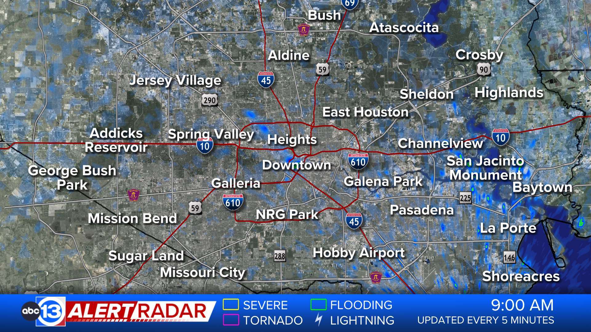
A Flood Watch is effect through 10pm today for most of the rest southeast Texas, as forecasters predict an additional 1-3" of rain will fall in most areas; some spots could get as much as 5" of rain. Given the saturated ground and the intensity of the expected rain, we can expect scattered flooding again Friday.
Stay with Eyewitness News and abc13.com for the latest on our developing weather. Download the ABC-13 weather app to get audio alerts for severe weather near your location


